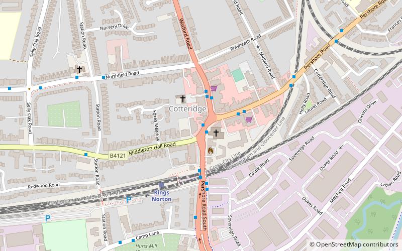
St Agnes' Church, Birmingham

Map
Facts and practical information
St Agnes’ Church is a former Church of England parish church in Cotteridge, Birmingham. ()
Completed: 1903 (123 years ago)Coordinates: 52°24'57"N, 1°55'51"W
Day trips
St Agnes' Church – popular in the area (distance from the attraction)
Nearby attractions include: Cadbury World, Lifford Reservoir, St Nicolas Church, Woodbrooke.
Frequently Asked Questions (FAQ)
Which popular attractions are close to St Agnes' Church?
Nearby attractions include Cotteridge Park, Birmingham (11 min walk), Kings Norton Junction, Birmingham (11 min walk), St Nicolas Church, Birmingham (13 min walk), King's Norton Stop Lock, Birmingham (14 min walk).
How to get to St Agnes' Church by public transport?
The nearest stations to St Agnes' Church:
Bus
Train
Bus
- Cf • Lines: 19 (2 min walk)
- Ch • Lines: 19 (2 min walk)
Train
- Kings Norton (4 min walk)
- Bournville (21 min walk)


