Catshill Junction, Brownhills

Gallery (1)
Map
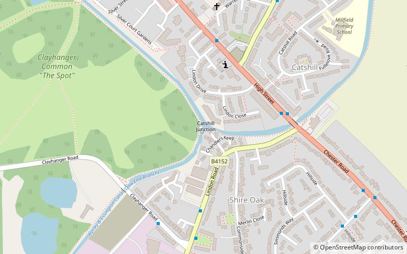
Map
Facts and practical information
Catshill Junction is a canal junction at the northern limit of the Daw End Branch Canal where it meets the Wyrley and Essington Canal main line, near Brownhills, in West Midlands, England. ()
Coordinates: 52°38'28"N, 1°55'40"W
Address
Walsall (Brownhills)Brownhills
ContactAdd
Social media
Add
Day trips