Gilesgate, Durham
Map
Facts and practical information
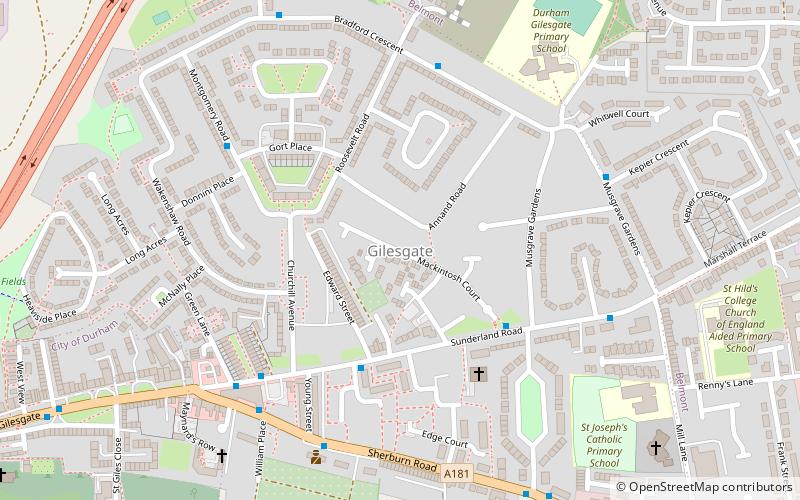
Gilesgate is a place in County Durham, England. It is situated east of the centre of Durham. It is also a ward of Durham with a total population taken at the 2011 census was 8,074. ()
Address
Durham
ContactAdd
Social media
Add
Getting there by public transportation
Public transportation stops near this location
- Bus
 Bus
Bus
- Calculate routeBelmont link road 13 min walk
- Calculate routeThe Chains-Woodman 17 min walk
- Calculate routeNew Elvet 24 min walk
- Calculate routeClaypath 24 min walk
Day trips


Frequently Asked Questions (FAQ)
Which popular attractions are close to Gilesgate?
Nearby attractions include St Giles Church, Durham (10 min walk), College of St Hild and St Bede, Durham (15 min walk), St Cuthbert's Church, Durham (22 min walk), Maiden Castle, Durham (23 min walk).
How to get to Gilesgate by public transport?
The nearest stations to Gilesgate:
Bus
Bus
- Belmont link road • Lines: X20 (13 min walk)
- The Chains-Woodman • Lines: 64 (17 min walk)