Park Lane Stadium, Manchester
Map

Map

Facts and practical information
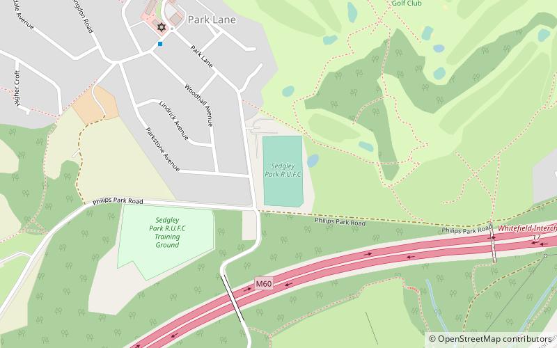
Park Lane is a rugby stadium in Whitefield near Bury, Greater Manchester, England. It is the home of Sedgley Park R.U.F.C. and, from 2003–10 and 2015, Swinton rugby league club. ()
Opened: 1955 (71 years ago)Capacity: 3000Coordinates: 53°32'19"N, 2°18'13"W
Address
Manchester
ContactAdd
Social media
Add
Day trips
Park Lane Stadium – popular in the area (distance from the attraction)
Nearby attractions include: Church of St Mary the Virgin, Philips Park, All Saints' Church, Besses United Reformed Church.
Frequently Asked Questions (FAQ)
Which popular attractions are close to Park Lane Stadium?
Nearby attractions include Philips Park, Manchester (8 min walk), All Saints' Church, Manchester (22 min walk), Besses United Reformed Church, Bury (22 min walk), Clifton Viaduct, Manchester (23 min walk).
How to get to Park Lane Stadium by public transport?
The nearest stations to Park Lane Stadium:
Tram
Train
Tram
- Besses o' th' Barn • Lines: Altr, Bury, Picc (20 min walk)
- Whitefield • Lines: Altr, Bury, Picc (24 min walk)
Train
- Clifton (31 min walk)

 Metrolink
 Metrolink / Rail


