Clifton Viaduct, Manchester

Gallery (1)
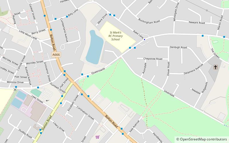
Map
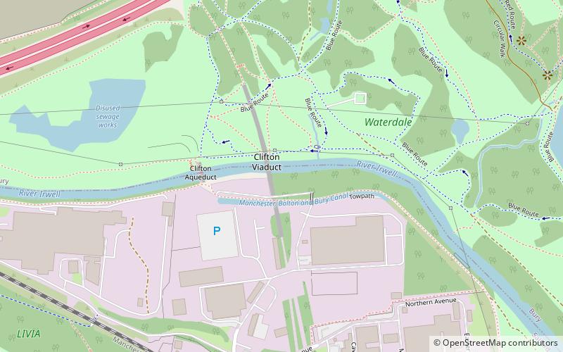
Map
Facts and practical information
Clifton Viaduct is a Grade II listed stone structure crossing the valley of the River Irwell in Clifton, Greater Manchester, and also the Manchester, Bolton and Bury Canal. It is known locally as the "13 Arches". It is currently disused and closed to the public. ()
Coordinates: 53°31'38"N, 2°18'52"W
Address
Salford (Pendlebury)Manchester
ContactAdd
Social media
Add
Getting there by public transportation
Public transportation stops near this location
- Bus
- Tram
- Train
 Bus
Bus
- Calculate routeClifton 9 min walk
- Calculate routeSwinton 33 min walk
- Calculate routeAgecroft Road/Langley Road 34 min walk
- Calculate routeLangley Road/Agecroft Road 35 min walk
- Calculate routeChorley Road/Swinton Post Office 38 min walk
- Calculate routeBesses o' th' Barn 40 min walk
Maps MetrolinkMaps
 Metrolink / Rail
MetrolinkMapsMetrolink / RailDay trips


Frequently Asked Questions (FAQ)
Which popular attractions are close to Clifton Viaduct?
Nearby attractions include Clifton Aqueduct, Manchester (4 min walk), Fletcher's Canal, Manchester (6 min walk), Clifton, Manchester (9 min walk), Philips Park, Manchester (16 min walk).
How to get to Clifton Viaduct by public transport?
The nearest stations to Clifton Viaduct:
Train
Bus
Tram
Train
- Clifton (9 min walk)
- Swinton (33 min walk)
Bus
- Agecroft Road/Langley Road • Lines: 74 (34 min walk)
- Langley Road/Agecroft Road • Lines: 74 (35 min walk)
Tram
- Besses o' th' Barn • Lines: Altr, Bury, Picc (40 min walk)