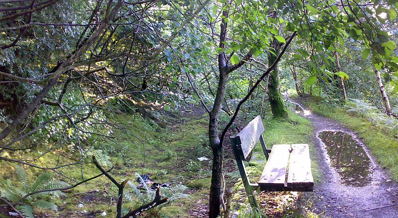
Fletcher's Canal, Manchester

Gallery (3)
Map
Map
Gallery
Facts and practical information
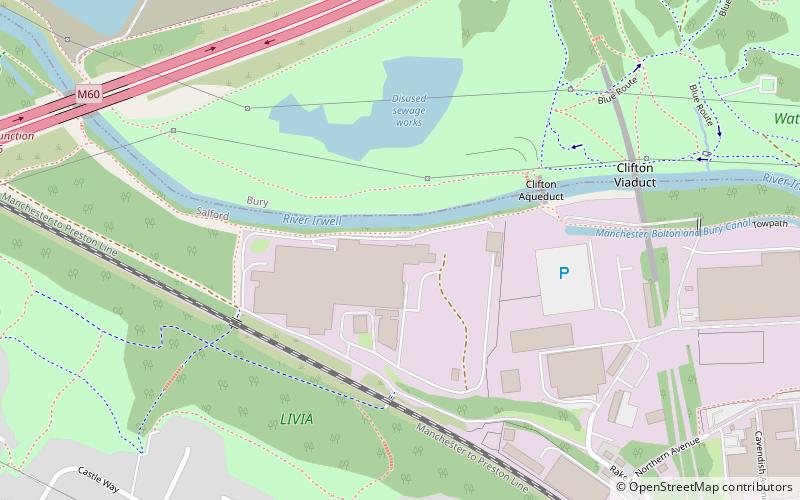
Fletcher's Canal was a 1.5-mile long canal in Greater Manchester, which connected the Wet Earth Colliery to the Manchester, Bolton & Bury Canal at Clifton Aqueduct. The canal is now derelict and no longer used. ()
Coordinates: 53°31'36"N, 2°19'11"W
Address
Salford (Pendlebury)Manchester
ContactAdd
Social media
Add
Getting there by public transportation
Public transportation stops near this location
- Bus
- Train
 Bus
Bus
- Calculate routeClifton 10 min walk
- Calculate routeSwinton 28 min walk
- Calculate routeAgecroft Road/Dauntesey Avenue 32 min walk
- Calculate routeChorley Road/Swinton Church 34 min walk
Maps MetrolinkMaps
 Metrolink / Rail
MetrolinkMapsMetrolink / RailDay trips


Frequently Asked Questions (FAQ)
Which popular attractions are close to Fletcher's Canal?
Nearby attractions include Clifton Aqueduct, Manchester (4 min walk), Clifton, Manchester (5 min walk), Clifton Viaduct, Manchester (6 min walk), Pendlebury, Manchester (17 min walk).
How to get to Fletcher's Canal by public transport?
The nearest stations to Fletcher's Canal:
Train
Bus
Train
- Clifton (10 min walk)
- Swinton (28 min walk)
Bus
- Agecroft Road/Dauntesey Avenue • Lines: 74 (32 min walk)
- Chorley Road/Swinton Church • Lines: 29 (34 min walk)