Philips Park, Manchester
Map
Gallery
Facts and practical information
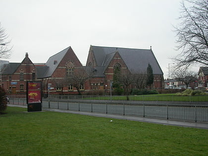
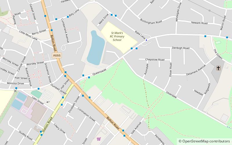
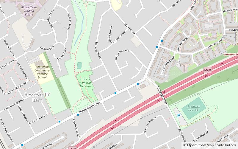
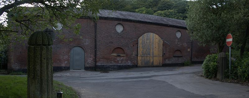
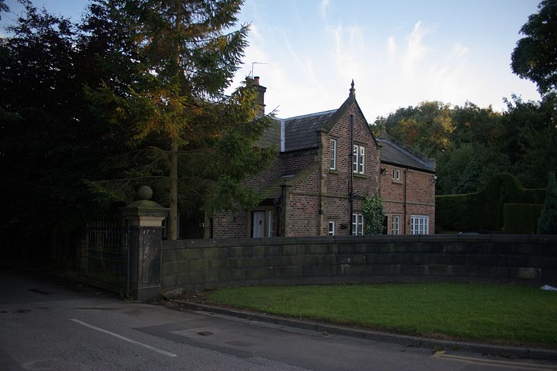
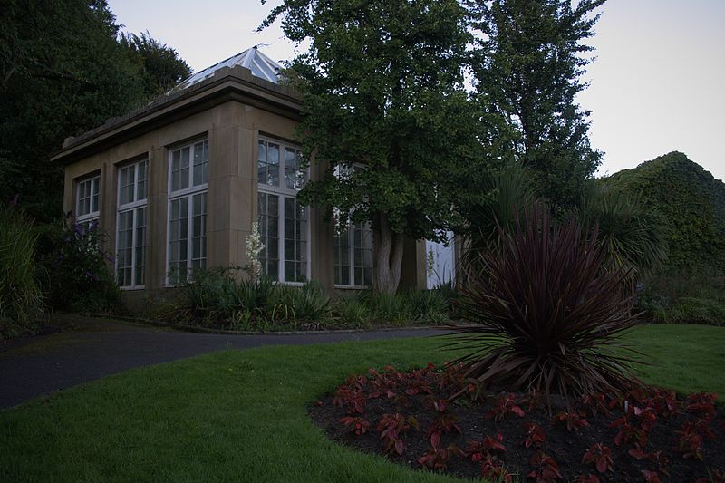
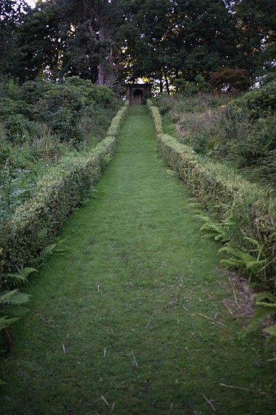
Philips Park is an area of parkland situated within the Metropolitan Borough of Bury on the boundary of Whitefield and Prestwich, in Greater Manchester. The park consists of rich woodland and grassland habitat and is home to an assortment of wildlife. Two thirds of the site was once the Philips family estate, and the remainder, known as Waterdale, is Irwell Valley land reclaimed following the demolition of two bleach and dye works. The park is a local nature reserve. ()
Elevation: 328 ft a.s.l.Coordinates: 53°32'5"N, 2°18'20"W
Day trips
Philips Park – popular in the area (distance from the attraction)
Nearby attractions include: Drinkwater Park, Church of St Mary the Virgin, All Saints' Church, Besses United Reformed Church.
Frequently Asked Questions (FAQ)
Which popular attractions are close to Philips Park?
Nearby attractions include Clifton Viaduct, Manchester (16 min walk), Clifton Aqueduct, Manchester (18 min walk), Fletcher's Canal, Manchester (21 min walk), Church of St Mary the Virgin, Manchester (22 min walk).
How to get to Philips Park by public transport?
The nearest stations to Philips Park:
Train
Tram
Train
- Clifton (24 min walk)
Tram
- Besses o' th' Barn • Lines: Altr, Bury, Picc (25 min walk)
- Prestwich • Lines: Altr, Bury, Picc (25 min walk)



 Metrolink
 Metrolink / Rail


