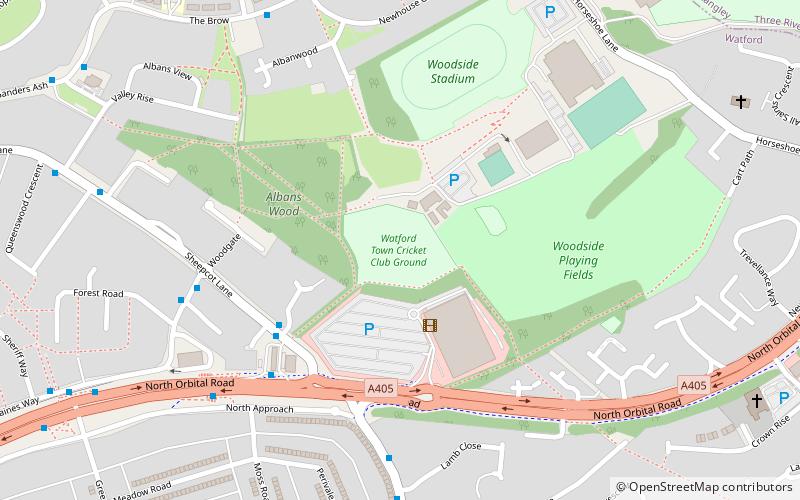
Woodside Stadium, Watford
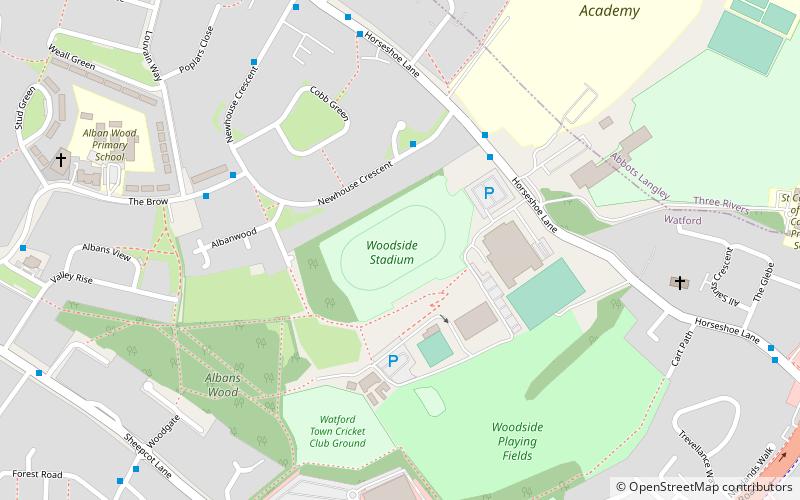
Map
Facts and practical information
Woodside Stadium is the home of Watford Harriers Athletics Club It is situated in Watford in Hertfordshire and has a seated capacity of 708. Other local athletics clubs training at the stadium include Chiltern Harriers, and Shaftesbury Barnet Harriers. ()
Opened: 1955 (71 years ago)Capacity: 708Coordinates: 51°41'45"N, 0°23'40"W
Getting there by public transportation
Public transportation stops near this location
- Bus
- Train
 Bus
Bus
- Calculate routeThe Brow Shops 5 min walk
- Calculate routeBoundary Way 6 min walk
- Calculate routeThe Hammer in Hand PH 10 min walk
- Calculate routeBus Garage 13 min walk
- Calculate routeGarston 22 min walk
Day trips
Woodside Stadium – popular in the area (distance from the attraction)
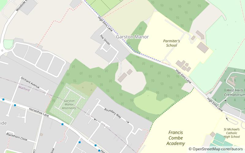
Nearby attractions include: Warner Bros. Studio Tour London - The Making of Harry Potter, Stanborough Centre, Ashridge Commons and Woods, Garston Park.


Frequently Asked Questions (FAQ)
Which popular attractions are close to Woodside Stadium?
Nearby attractions include Fisher's Field, Watford (6 min walk), Albans Wood, Watford (6 min walk), High Elms Manor, Watford (11 min walk), Garston Park, Watford (18 min walk).
How to get to Woodside Stadium by public transport?
The nearest stations to Woodside Stadium:
Bus
Train
Bus
- The Brow Shops • Lines: 8 (5 min walk)
- Boundary Way • Lines: 8 (6 min walk)
Train
- Garston (22 min walk)