High Elms Manor, Watford
Map
Facts and practical information
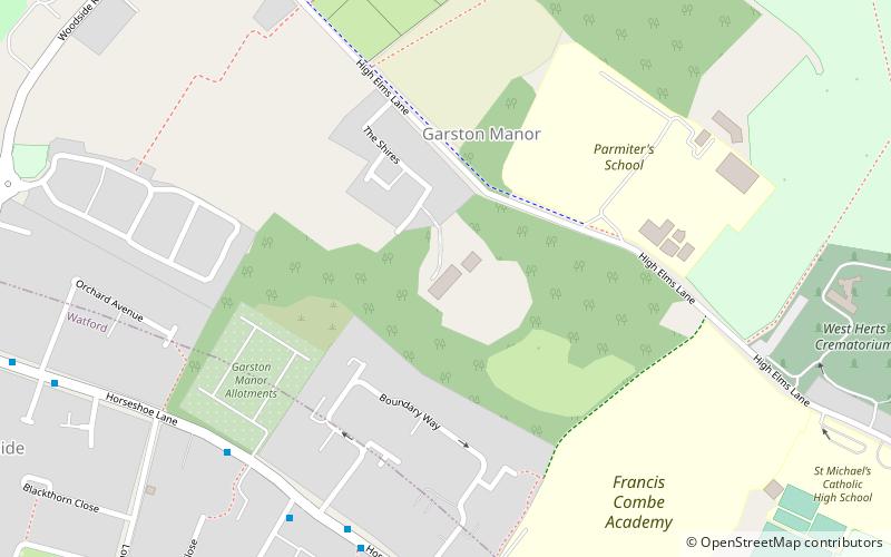
High Elms Manor is a grade II listed Georgian country house located near Garston in Hertfordshire, England. It was built in around 1812, and was originally known as "High Elms", but from the 1890s to 2010 it was called Garston Manor. ()
Coordinates: 51°42'7"N, 0°23'37"W
Getting there by public transportation
Public transportation stops near this location
- Bus
- Train
 Bus
Bus
- Calculate routeBoundary Way 6 min walk
- Calculate routeSt Michael's RC School 11 min walk
- Calculate routeThe Brow Shops 11 min walk
- Calculate routeBucknalls Lane 12 min walk
- Calculate routeGarston 31 min walk
Day trips


Frequently Asked Questions (FAQ)
Which popular attractions are close to High Elms Manor?
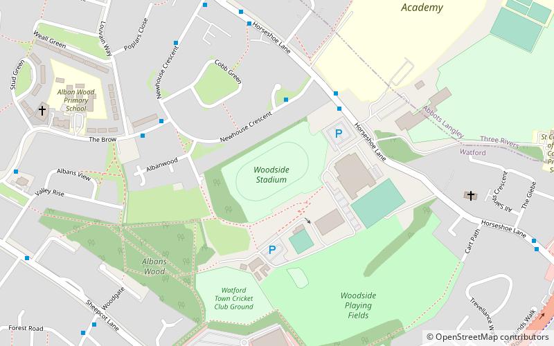
Nearby attractions include Fisher's Field, Watford (15 min walk), Albans Wood, Watford (15 min walk), Garston Park, Watford (24 min walk).
How to get to High Elms Manor by public transport?
The nearest stations to High Elms Manor:
Bus
Train
Bus
- Boundary Way • Lines: 8 (6 min walk)
- St Michael's RC School • Lines: 306A (11 min walk)
Train
- Garston (31 min walk)