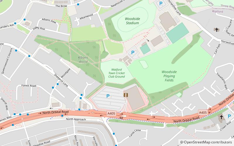
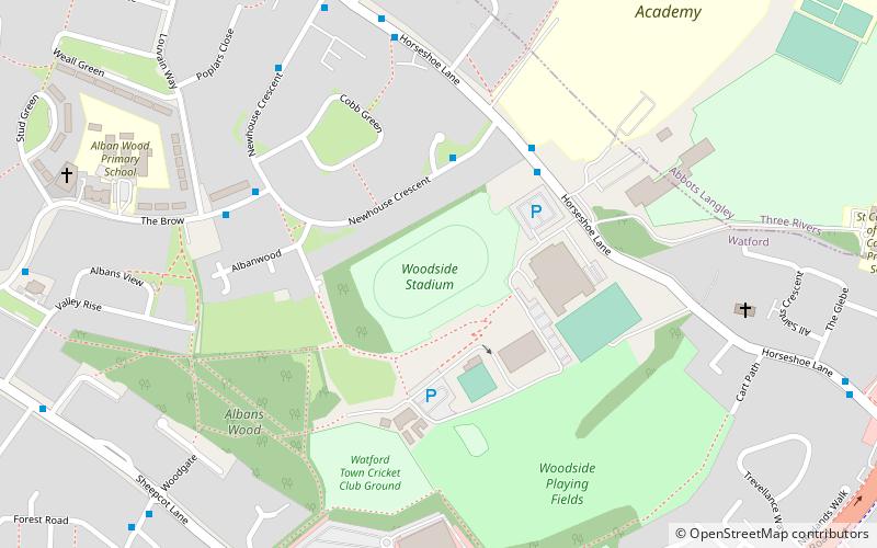
Watford Town Cricket Club Ground, Watford
Map
Facts and practical information
Watford Town Cricket Club Ground, at Woodside Playing Fields, is a cricket ground on the northern outskirts of Watford, Hertfordshire. The first recorded match on the ground was in 1944, when the Combined Services played Northamptonshire. In 1976, the ground hosted its first Minor Counties Championship match when Hertfordshire played Norfolk. From 1976 to 1991, the ground played host to 11 Minor Counties Championship matches and a single MCCA Knockout Trophy match. ()
Coordinates: 51°41'37"N, 0°23'44"W
Address
Watford
ContactAdd
Social media
Add
Getting there by public transportation
Public transportation stops near this location
- Bus
- Train
 Bus
Bus
- Calculate routeThe Brow Shops 7 min walk
- Calculate routeThe Hammer in Hand PH 9 min walk
- Calculate routeBoundary Way 10 min walk
- Calculate routeBus Garage 12 min walk
- Calculate routeGarston 20 min walk
Day trips


Frequently Asked Questions (FAQ)
Which popular attractions are close to Watford Town Cricket Club Ground?
Nearby attractions include Fisher's Field, Watford (4 min walk), Albans Wood, Watford (4 min walk), High Elms Manor, Watford (16 min walk), Stanborough Centre, Watford (17 min walk).
How to get to Watford Town Cricket Club Ground by public transport?
The nearest stations to Watford Town Cricket Club Ground:
Bus
Train
Bus
- The Brow Shops • Lines: 8 (7 min walk)
- The Hammer in Hand PH • Lines: 8 (9 min walk)
Train
- Garston (20 min walk)