Park Hall Nature Reserve, Birmingham
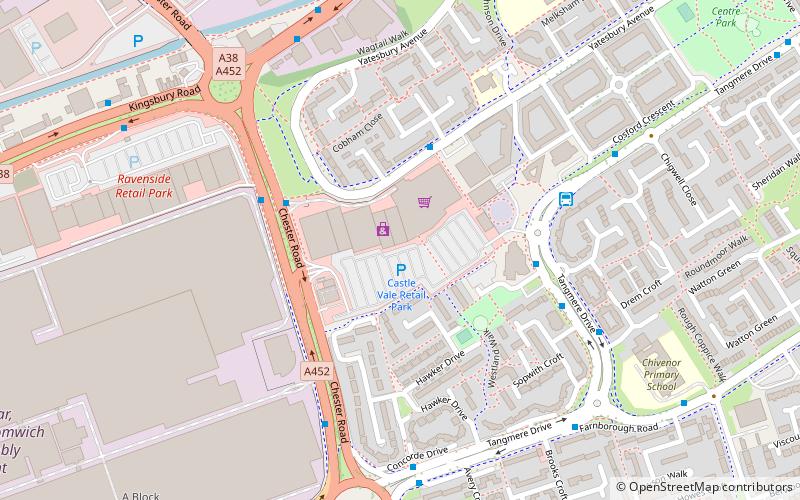
Map
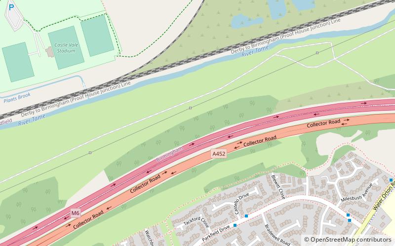
Map

Facts and practical information
Park Hall was a Wildlife Trust nature reserve in Birmingham England, until it was taken possession of by HS2. ()
Elevation: 302 ft a.s.l.Coordinates: 52°30'50"N, 1°46'23"W
Best Ways to Experience the Park
Wildlife
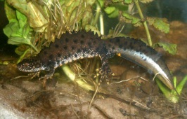
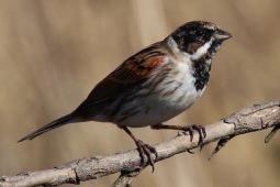
AnimalsSee what popular animal species you can meet in this location.
More
Day trips
Park Hall Nature Reserve – popular in the area (distance from the attraction)
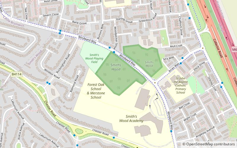
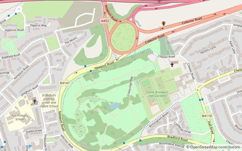
Nearby attractions include: Castle Bromwich Hall Gardens, St Mary and St Margaret's Church, Plantsbrook Local Nature Reserve, Sentinel Sculpture.
Frequently Asked Questions (FAQ)
How to get to Park Hall Nature Reserve by public transport?
The nearest stations to Park Hall Nature Reserve:
Bus
Bus
- Tangmere Dr / Roundmoor Walk (23 min walk)
- Kingsbury Rd / Minworth Island • Lines: 75 (29 min walk)


