Plantsbrook Local Nature Reserve, Birmingham
Map

Map

Facts and practical information
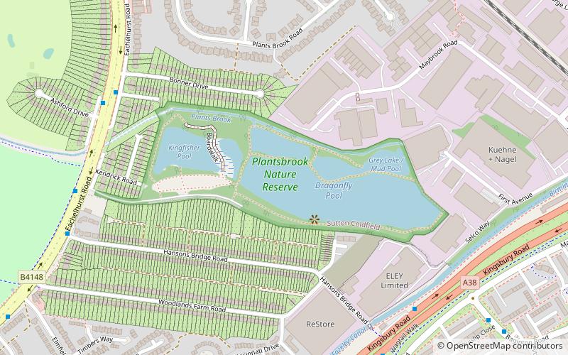
Plantsbrook Local Nature Reserve is a nature reserve on the Plants Brook in The Royal Town of Sutton Coldfield, near Birmingham, England, consisting of open water, wetland, woodland and meadow. It is located on Eachelhurst Road, on the border of the Pype Hayes and Walmley districts. It was designated a Local Nature Reserve in 1991. ()
Created: 20 March 1991Elevation: 295 ft a.s.l.Coordinates: 52°31'38"N, 1°47'41"W
Day trips
Plantsbrook Local Nature Reserve – popular in the area (distance from the attraction)
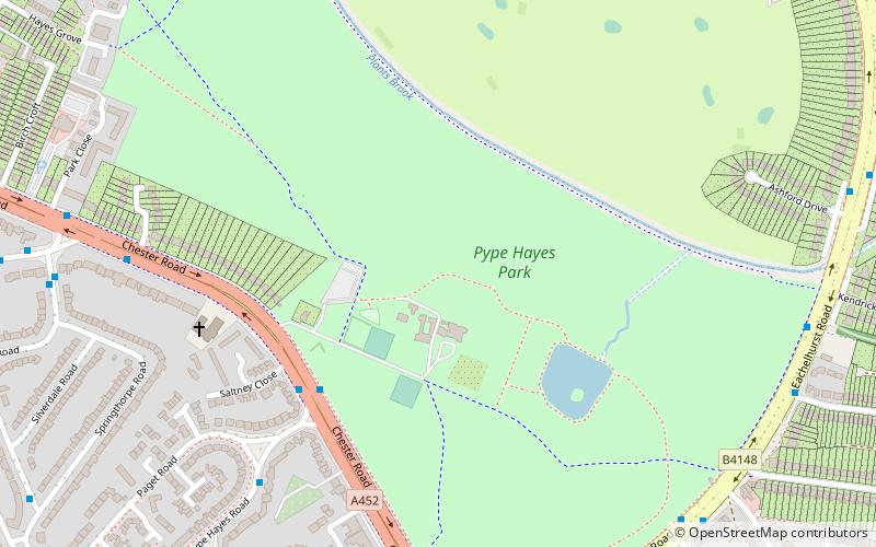
Nearby attractions include: Pype Hayes Park, Sentinel Sculpture, Peddimore Hall, Birmingham and Fazeley Canal.
Frequently Asked Questions (FAQ)
Which popular attractions are close to Plantsbrook Local Nature Reserve?
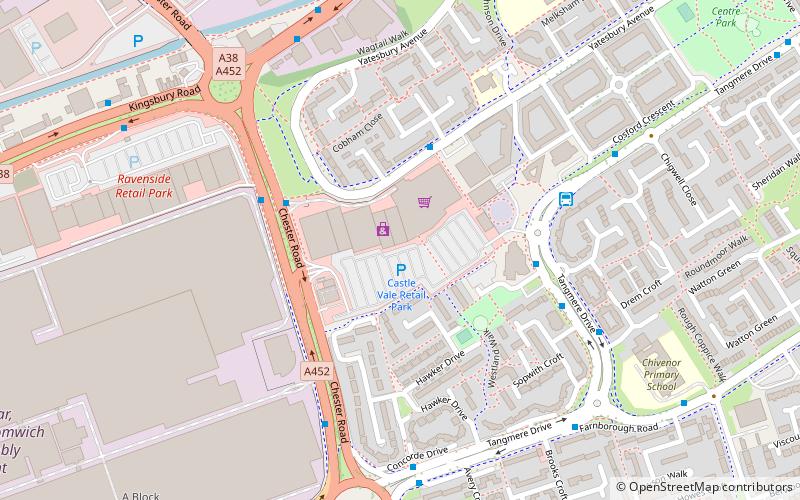
Nearby attractions include Birmingham and Fazeley Canal, Birmingham (9 min walk), Pype Hayes Park, Birmingham (15 min walk), Castle Vale, Birmingham (16 min walk).
How to get to Plantsbrook Local Nature Reserve by public transport?
The nearest stations to Plantsbrook Local Nature Reserve:
Bus
Bus
- Eachelhurst Rd / Bonner Drive • Lines: X14 (7 min walk)


