Castle Vale Shopping Centre, Birmingham
Map
Facts and practical information
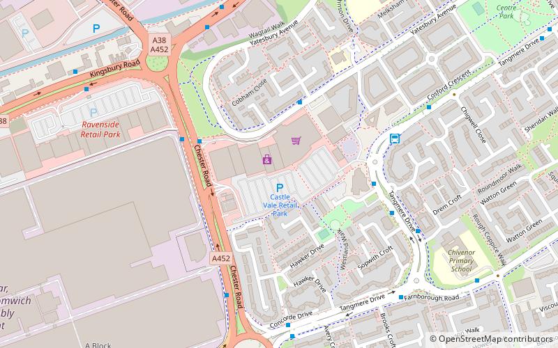
Castle Vale Shopping Centre is a retail park located on the Castle Vale estate in Birmingham, England. It is situated off the A452 Chester Road and was originally built in the 1970s. ()
Coordinates: 52°31'1"N, 1°47'49"W
Address
TyburnBirmingham
ContactAdd
Social media
Add
Getting there by public transportation
Public transportation stops near this location
- Bus
 Bus
Bus
- Calculate routeTangmere Dr / Roundmoor Walk 5 min walk
- Calculate routeChester Rd / Tyburn Rd 15 min walk
- Calculate routeTyburn Rd / The Bagot Arms 16 min walk
Day trips
Castle Vale Shopping Centre – popular in the area (distance from the attraction)
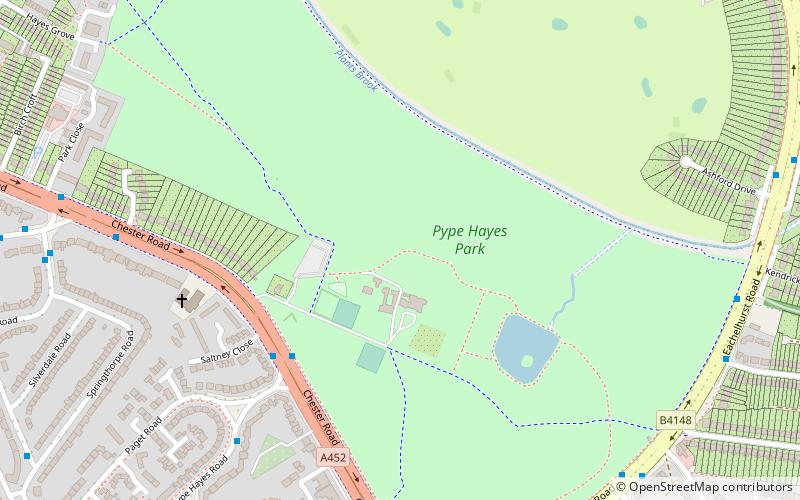
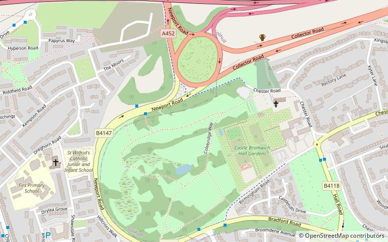
Nearby attractions include: Castle Bromwich Hall Gardens, St Mary and St Margaret's Church, The Fort Shopping Park, Plantsbrook Local Nature Reserve.


Frequently Asked Questions (FAQ)
Which popular attractions are close to Castle Vale Shopping Centre?
Nearby attractions include Sentinel Sculpture, Birmingham (7 min walk), Birmingham and Fazeley Canal, Birmingham (10 min walk), Castle Vale, Birmingham (16 min walk), Plantsbrook Local Nature Reserve, Birmingham (19 min walk).
How to get to Castle Vale Shopping Centre by public transport?
The nearest stations to Castle Vale Shopping Centre:
Bus
Bus
- Tangmere Dr / Roundmoor Walk (5 min walk)
- Chester Rd / Tyburn Rd • Lines: 28 (15 min walk)