Castle Vale, Birmingham
Map

Gallery

Facts and practical information
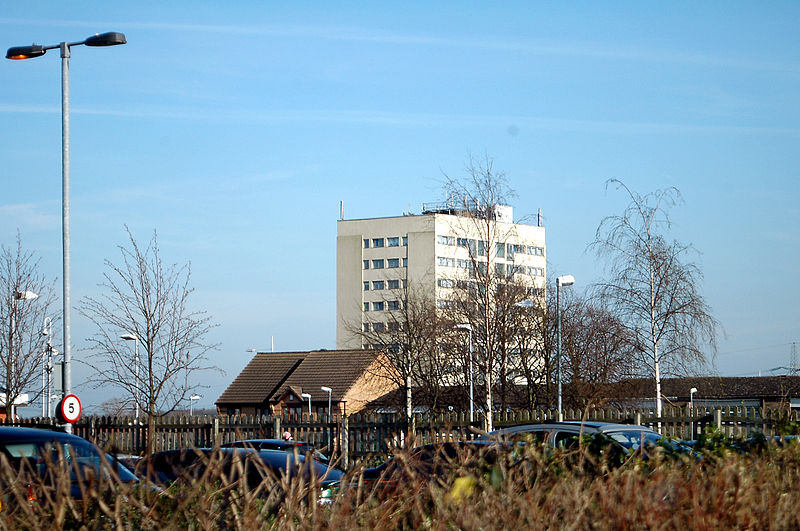
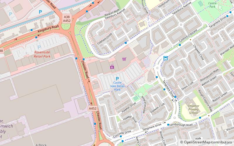
Castle Vale is a housing estate located between Erdington, Minworth and Castle Bromwich. Currently Castle Vale makes up the Castle Vale Ward of Birmingham City Council which is part of Erdington constituency, 6 miles northeast of Birmingham city centre in England. The area has an approximate population of 10,000 people and has a distinctly modern residential character stemming from its history as a postwar overspill estate. ()
Area: 0.97 mi²Coordinates: 52°31'17"N, 1°47'4"W
Address
TyburnBirmingham
ContactAdd
Social media
Add
Day trips
Castle Vale – popular in the area (distance from the attraction)
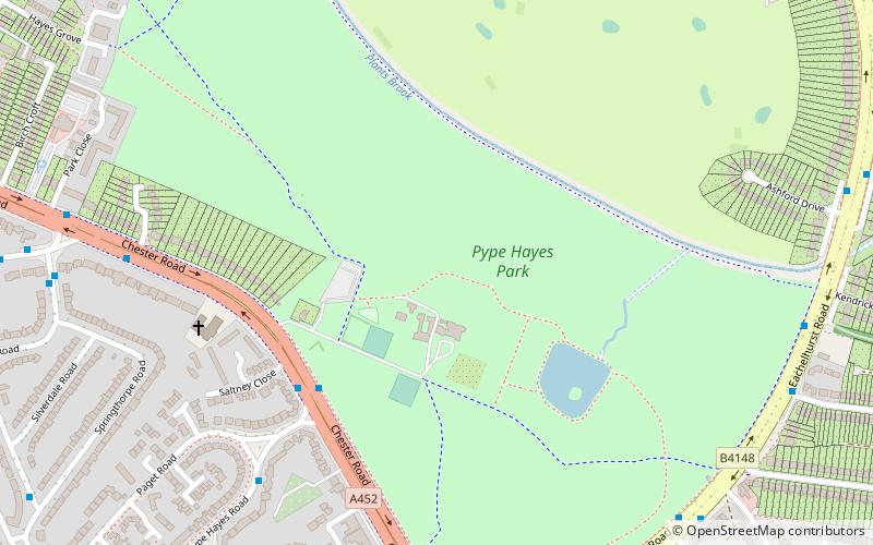
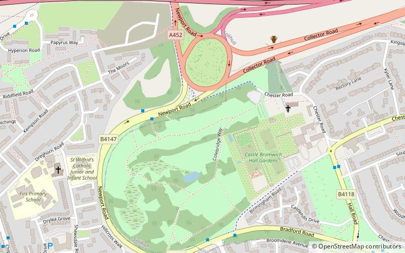
Nearby attractions include: Castle Bromwich Hall Gardens, St Mary and St Margaret's Church, Plantsbrook Local Nature Reserve, Pype Hayes Park.
Frequently Asked Questions (FAQ)
Which popular attractions are close to Castle Vale?
Nearby attractions include Birmingham and Fazeley Canal, Birmingham (13 min walk), Plantsbrook Local Nature Reserve, Birmingham (16 min walk), Park Hall Nature Reserve, Birmingham (18 min walk), Sentinel Sculpture, Birmingham (21 min walk).
How to get to Castle Vale by public transport?
The nearest stations to Castle Vale:
Bus
Bus
- Tangmere Dr / Roundmoor Walk (11 min walk)
- Walmley Ash Rd / Forge Croft • Lines: 75 (19 min walk)


