London/South Kensington-Chelsea, London
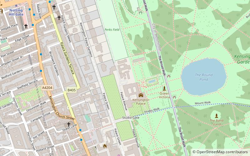
Map
Gallery
Facts and practical information
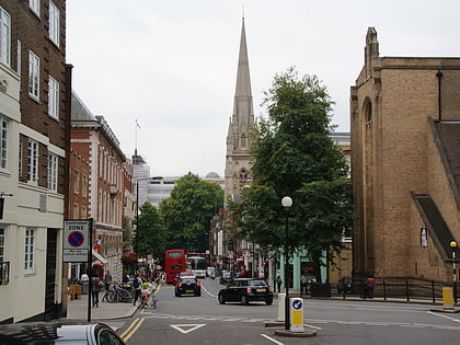
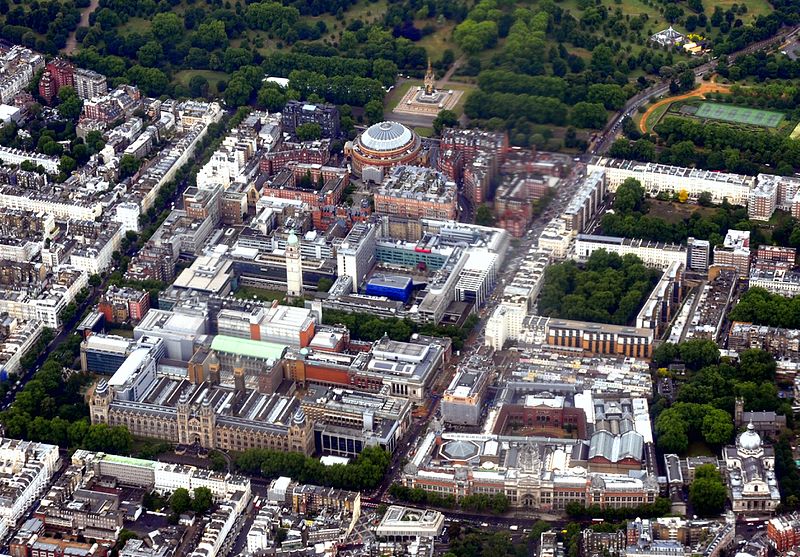
The Royal Borough of Kensington and Chelsea is an Inner London borough with royal status. It is the smallest borough in London and the second smallest district in England; it is one of the most densely populated administrative regions in the United Kingdom. It includes affluent areas such as Notting Hill, Kensington, South Kensington, Chelsea, and Knightsbridge. ()
Day trips
London/South Kensington-Chelsea – popular in the area (distance from the attraction)
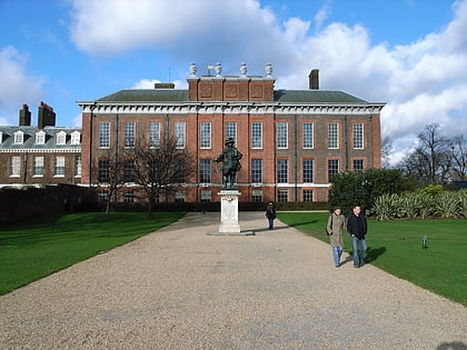
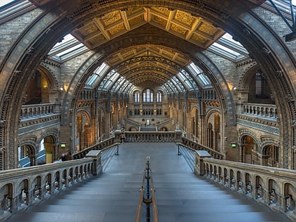
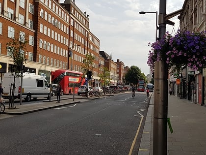
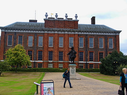
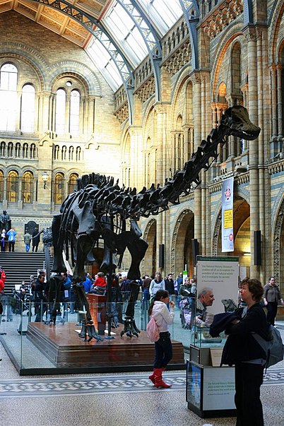
Nearby attractions include: Kensington Palace, Natural History Museum, Kensington High Street, Statue of William III.
Frequently Asked Questions (FAQ)
Which popular attractions are close to London/South Kensington-Chelsea?
Nearby attractions include Kensington, London (2 min walk), Kensington Square, London (3 min walk), St Sarkis, London (5 min walk), Kensington Roof Gardens, London (5 min walk).
How to get to London/South Kensington-Chelsea by public transport?
The nearest stations to London/South Kensington-Chelsea:
Metro
Bus
Ferry
Metro
- High Street Kensington • Lines: Circle, District (4 min walk)
- Gloucester Road • Lines: Circle, District, Piccadilly (11 min walk)
Bus
- High Street Kensington Station • Lines: 23, 27, 28, 328, 49, 702, 9, N27, N28, N31, N9 (5 min walk)
- Kensington Palace • Lines: 23, 452, 49, 52, 70, 9, N9 (7 min walk)
Ferry
- Cadogan Pier • Lines: Rb6 (39 min walk)



 Tube
Tube