Sadie Coles HQ, London
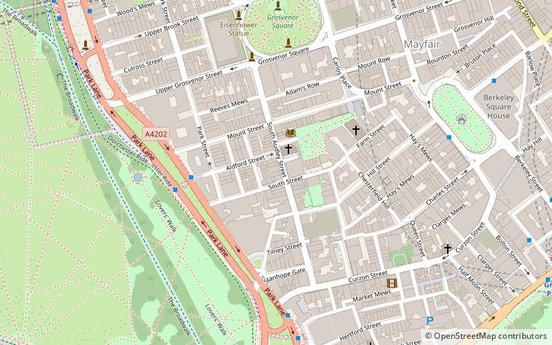
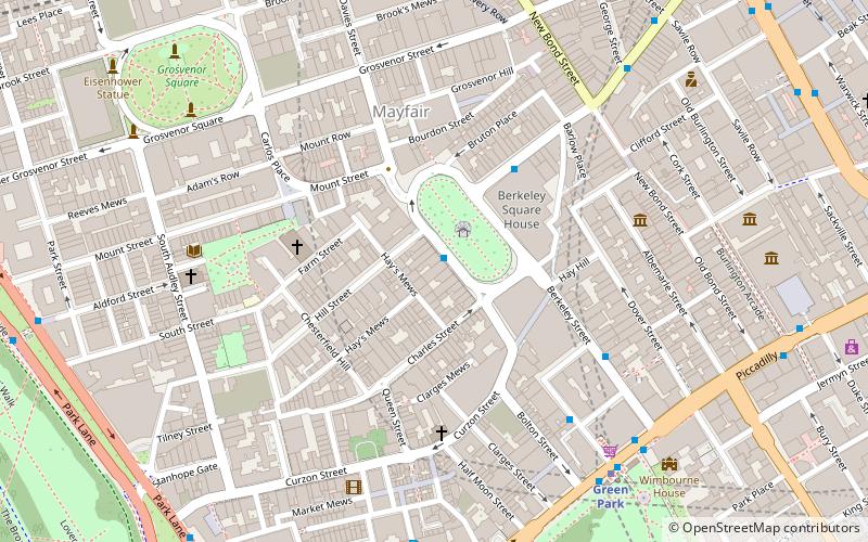
Map
Facts and practical information
Sadie Coles HQ is a contemporary art gallery in London, owned and directed by Sadie Coles. The gallery focuses on presenting the work of established and emerging international artists. It was at the forefront of the Young British Artists movement. ()
Coordinates: 51°30'31"N, 0°9'6"W
Address
City of Westminster (West End)London
ContactAdd
Social media
Add
Getting there by public transportation
Public transportation stops near this location
- Metro
- Bus
- Train
- Ferry
 Metro
Metro
- Calculate routeOld Park Lane / Hard Rock Cafe 9 min walk
- Calculate routeMarble Arch 10 min walk
- Calculate routeGreen Park / Constitution Hill 10 min walk
- Calculate routeBond Street 11 min walk
- Calculate routeHyde Park Corner 11 min walk
- Calculate routeMarble Arch 12 min walk
- Calculate routeGreen Park 12 min walk
- Calculate routeLondon Victoria 26 min walk
- Calculate routeLondon Marylebone 31 min walk
- Calculate routeLondon Paddington 33 min walk
- Calculate routeMillbank Millennium Pier 42 min walk
Maps Tube
Tube
TubeDay trips
Sadie Coles HQ – popular in the area (distance from the attraction)
Nearby attractions include: Bruton Street, Animals in War Memorial, Ukrainian Catholic Cathedral of the Holy Family in Exile, Mount Street Gardens.


Frequently Asked Questions (FAQ)
Which popular attractions are close to Sadie Coles HQ?
Nearby attractions include Grosvenor Chapel, London (1 min walk), South Audley Street, London (2 min walk), Mount Street Gardens, London (2 min walk), Church of the Immaculate Conception, London (4 min walk).
How to get to Sadie Coles HQ by public transport?
The nearest stations to Sadie Coles HQ:
Bus
Metro
Train
Ferry
Bus
- Old Park Lane / Hard Rock Cafe • Lines: 38, N38 (9 min walk)
- Marble Arch • Lines: 400, 426, 905, A6 (10 min walk)
Metro
- Bond Street • Lines: Central, Jubilee (11 min walk)
- Hyde Park Corner • Lines: Piccadilly (11 min walk)
Train
- London Victoria (26 min walk)
- London Marylebone (31 min walk)
Ferry
- Millbank Millennium Pier • Lines: Rb2 (42 min walk)