Grosvenor Square, London
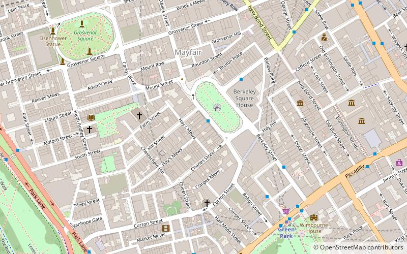
Map
Gallery
Facts and practical information
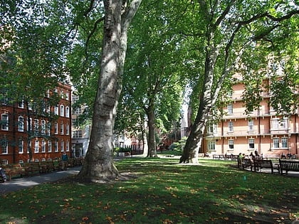
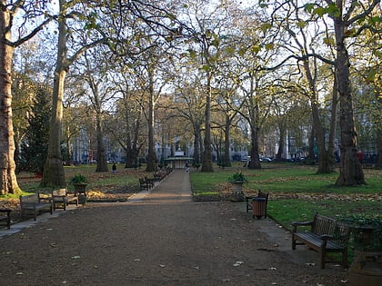
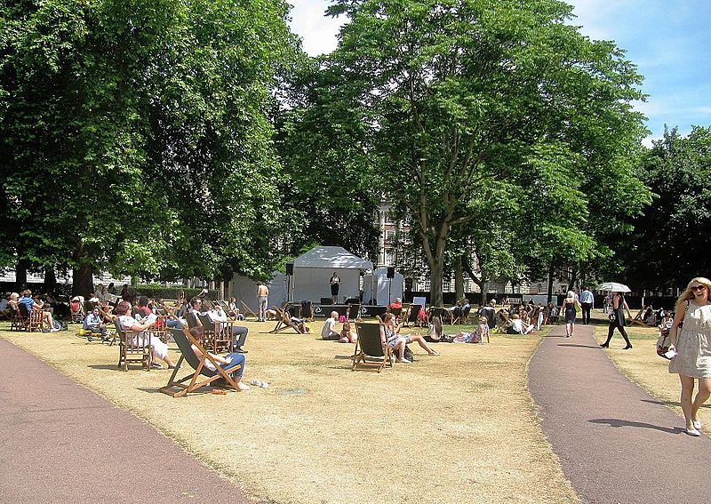
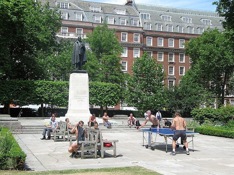
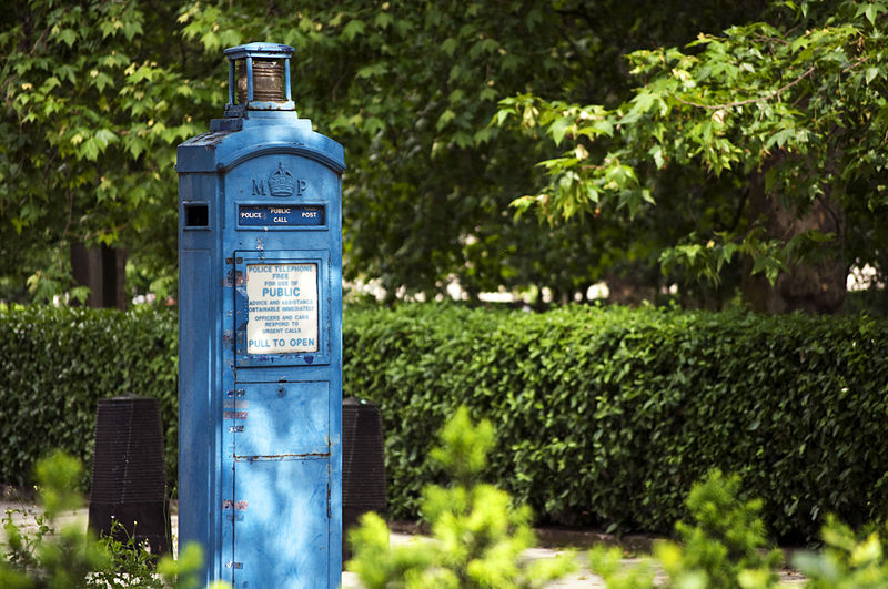
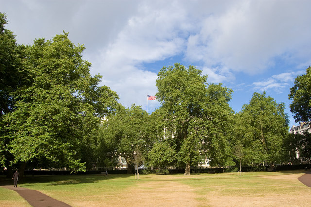
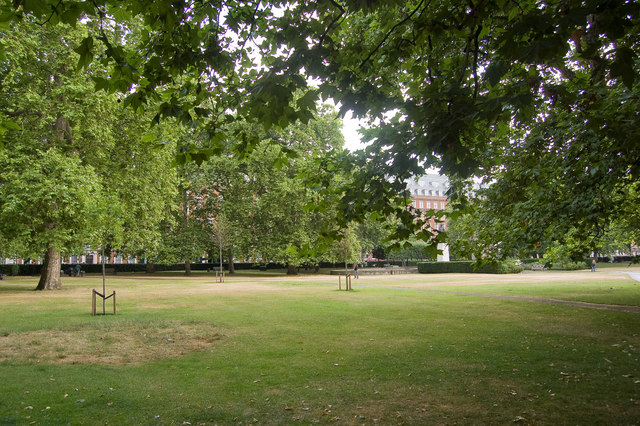
Grosvenor Square is a large garden square in the Mayfair district of London. It is the centrepiece of the Mayfair property of the Duke of Westminster, and takes its name from the surname "Grosvenor". It was developed for fashionable residences in the 18th century. In the 20th it had an American and Canadian diplomatic presence, and currently is mixed use, commercial. ()
Day trips
Grosvenor Square – popular in the area (distance from the attraction)
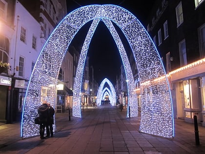
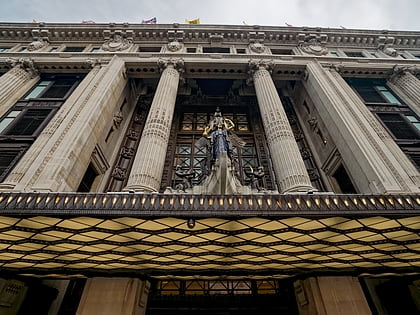
Nearby attractions include: Bond Street, South Molton Street, Selfridges, Bruton Street.
Frequently Asked Questions (FAQ)
Which popular attractions are close to Grosvenor Square?
Nearby attractions include Brown Hart Gardens, London (2 min walk), Eagle Squadrons Memorial, London (3 min walk), Ukrainian Catholic Cathedral of the Holy Family in Exile, London (3 min walk), Timothy Taylor, London (4 min walk).
How to get to Grosvenor Square by public transport?
The nearest stations to Grosvenor Square:
Metro
Bus
Train
Ferry
Metro
- Bond Street • Lines: Central, Jubilee (5 min walk)
- Marble Arch • Lines: Central (9 min walk)
Bus
- Marble Arch • Lines: 400, 426, 905, A6 (9 min walk)
- Portman Street / Marble Arch Station • Lines: 30 (8 min walk)
Train
- London Marylebone (26 min walk)
- Charing Cross (31 min walk)
Ferry
- Westminster Pier • Lines: Blue Tour, Green Tour, Rb1, Rb1X, Rb2, Red Tour (36 min walk)


 Tube
Tube
