Reading: Shopping District
Places and attractions in the Shopping district category
Categories
- Park
- Church
- Shopping
- Museum
- Shopping district
- Bridge
- Canal
- Sacred and religious sites
- Gothic Revival architecture
- Theater
- Concerts and shows
- Sport venue
- Sport
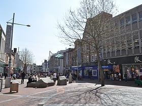
Broad Street
Broad Street is a main pedestrianised thoroughfare and the primary high street in the English town of Reading. The street is situated in the town centre, running for approximately 0.25 miles, from west to east.
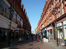
Queen Victoria Street
Queen Victoria Street is a pedestrianised thoroughfare in the English town of Reading, Berkshire. It connects Broad Street with Friar Street and Station Road.
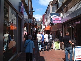
Union Street
Union Street, also known locally as Smelly Alley, is a pedestrian alley in the centre of the English town of Reading. It is lined with small shops and other retail outlets, and connects Broad Street and Friar Street.
St Mary's Butts
St Mary's Butts is a thoroughfare in the English town of Reading, Berkshire. On its west side is the Broad Street Mall. It is connected to the north with Broad Street, the pedestrianised primary high street of Reading. St Mary's Church and Butts are where the town of Reading originally grew from.
Friar Street
Friar Street is a thoroughfare in the English town of Reading. It runs parallel to Broad Street, connected by Union Street, Queen Victoria Street and Cross Street. At the western end is the Greyfriars Church and at the eastern end are the Town Hall and St Laurence's Church.
Oxford Road
Oxford Road is an urban street and major arterial road in Reading, Berkshire, England, Beginning near the town centre at the meeting of St. Mary's Butts/West Street/Broad Street. The road leads west to Pangbourne, continuing eventually to the city of Oxford. The road was previously known as Pangbourne Lane.
Map


