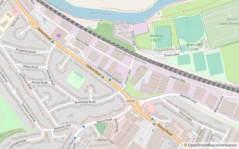
Oxford Road, Reading

Gallery (1)
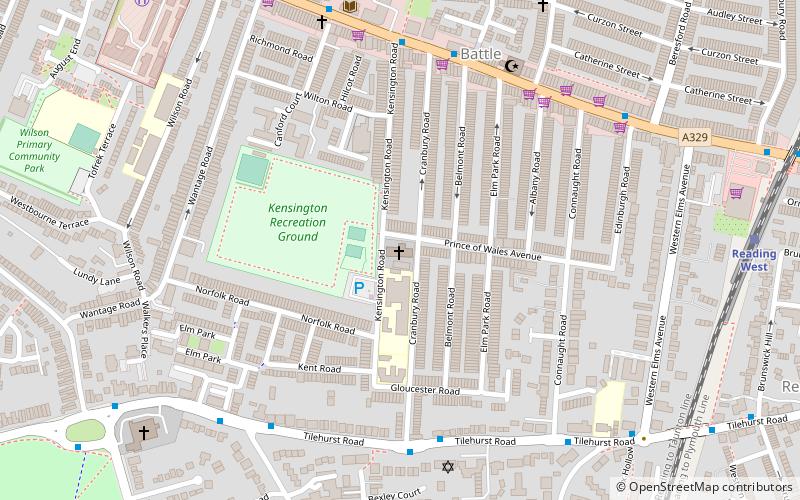
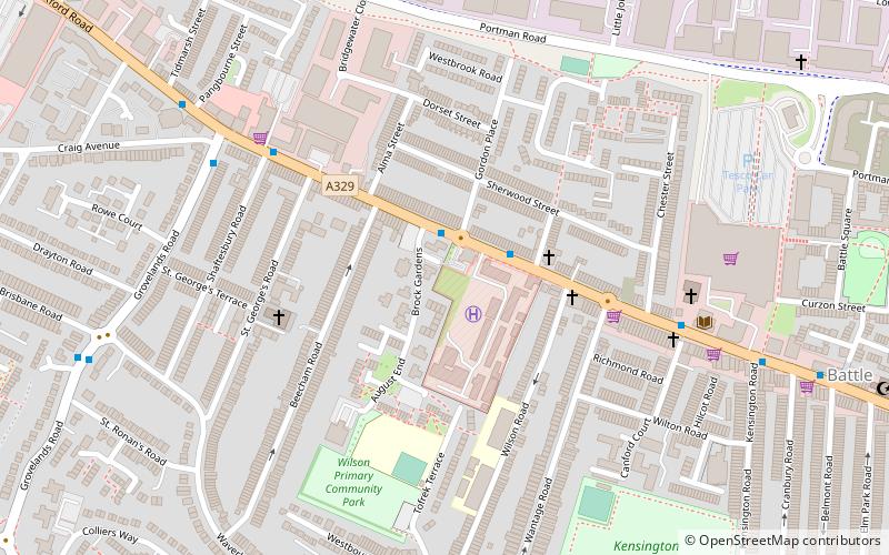
Map
Map
Facts and practical information
Oxford Road is an urban street and major arterial road in Reading, Berkshire, England, Beginning near the town centre at the meeting of St. Mary's Butts/West Street/Broad Street. The road leads west to Pangbourne, continuing eventually to the city of Oxford. The road was previously known as Pangbourne Lane. ()
Coordinates: 51°27'50"N, 1°0'54"W
Address
KentwoodReading
ContactAdd
Social media
Add
Getting there by public transportation
Public transportation stops near this location
- Bus
- Train
 Bus
Bus
- Calculate routeNorcot Junction 5 min walk
- Calculate routeRomany Lane 6 min walk
- Calculate routePond House 10 min walk
- Calculate routeLawrence Road 11 min walk
- Calculate routeTilehurst 21 min walk
- Calculate routeReading West 32 min walk
Day trips


Frequently Asked Questions (FAQ)
Which popular attractions are close to Oxford Road?
Nearby attractions include Krazy Playdays, Reading (4 min walk), Round Copse, Moor Copse (12 min walk), McIlroy Park, Reading (12 min walk), Royal Berkshire Regiment War Memorial, Reading (16 min walk).
How to get to Oxford Road by public transport?
The nearest stations to Oxford Road:
Bus
Train
Bus
- Norcot Junction • Lines: 17 (5 min walk)
- Romany Lane • Lines: 17 (6 min walk)
Train
- Tilehurst (21 min walk)
- Reading West (32 min walk)