All Saints' Church, Peak District
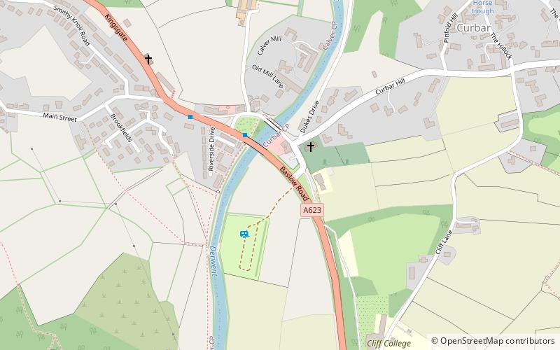
Map

Map

Facts and practical information
All Saints’ Church, Curbar is a Church of England parish church in Curbar, Derbyshire. ()
Coordinates: 53°15'57"N, 1°37'53"W
Address
Peak District
ContactAdd
Social media
Add
Day trips
All Saints' Church – popular in the area (distance from the attraction)
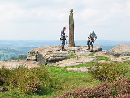
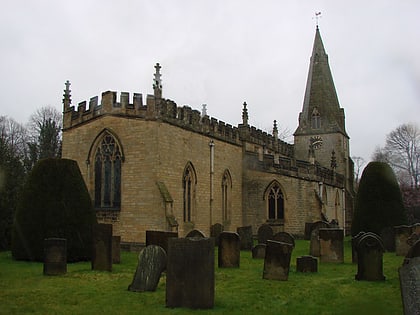
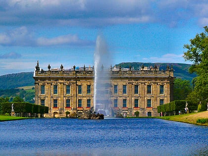
Nearby attractions include: Chatsworth House, Birchen Edge, St Peter's Church, Eyam Museum.
Frequently Asked Questions (FAQ)
How to get to All Saints' Church by public transport?
The nearest stations to All Saints' Church:
Bus
Bus
- Calver Bridge • Lines: 174, 218, 257 (3 min walk)
- Calver • Lines: 174, 218, 257 (9 min walk)


