Padley Chapel, Peak District

Gallery (1)
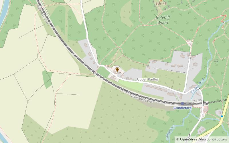
Map
Map
Facts and practical information
Padley Chapel is a building in Grindleford, England, on the site of the former Padley Hall. It is a Grade I listed building. ()
Coordinates: 53°18'25"N, 1°37'52"W
Address
Peak District
ContactAdd
Social media
Add
Getting there by public transportation
Public transportation stops near this location
- Bus
- Train
 Bus
Bus
- Calculate routeGrindleford 6 min walk
- Calculate routeGrindleford Padley Hill 10 min walk
Day trips


Frequently Asked Questions (FAQ)
How to get to Padley Chapel by public transport?
The nearest stations to Padley Chapel:
Train
Bus
Train
- Grindleford (6 min walk)
Bus
- Grindleford Padley Hill • Lines: 65 (10 min walk)