Manvers, Wath-upon-Dearne

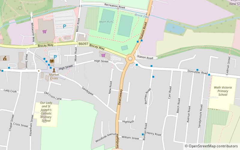
Map
Facts and practical information
Manvers is a suburb of Wath upon Dearne in the Metropolitan Borough of Rotherham in South Yorkshire, England. It lies across the border with the Metropolitan Borough of Doncaster, whilst Mexborough is part of Doncaster. It is situated between Mexborough and Wath upon Dearne, not far from Swinton. ()
Coordinates: 53°30'8"N, 1°20'25"W
Address
Wath-upon-Dearne
ContactAdd
Social media
Add
Day trips
Manvers – popular in the area (distance from the attraction)
Nearby attractions include: Trans Pennine Trail, Wath Hall, RSPB Old Moor, Montgomery Road.
Frequently Asked Questions (FAQ)
Which popular attractions are close to Manvers?
Nearby attractions include Montgomery Road, Wath-upon-Dearne (8 min walk), Wath Hall, Wath-upon-Dearne (10 min walk).


