Derwent Park

Gallery (2)
Map
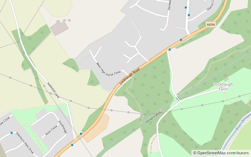

Map
Gallery
Facts and practical information
Derwent Park is situated in Rowlands Gill, Tyne and Wear, England. The park is often incorrectly called Rowlands Gill Park as a result. The park has a caravan site and has many play areas for children. Fishing on the River Derwent, which runs through the park, is priced at £2.50 per permit. The fish include brown trout, grayling and Atlantic salmon. ()
Elevation: 220 ft a.s.l.Coordinates: 54°55'52"N, 1°44'2"W
Location
England
ContactAdd
Social media
Add
Day trips