Christmas Steps, Bristol
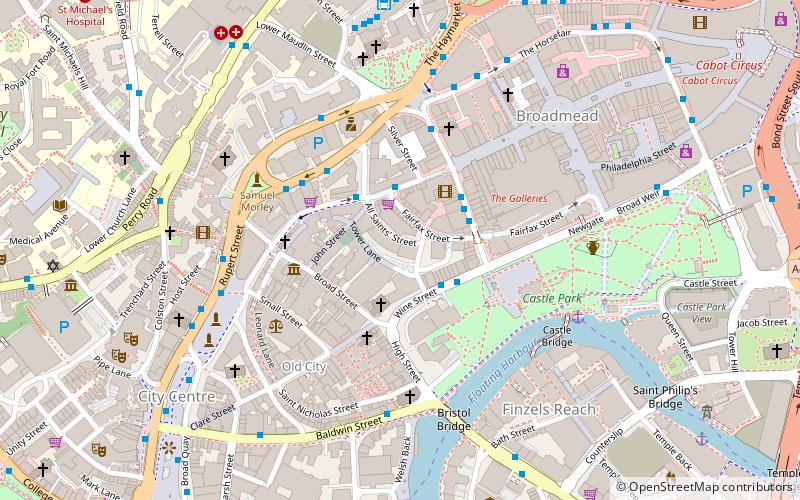
Map

Gallery
Facts and practical information
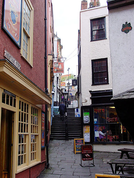
Christmas Steps is a historic street in the city centre of Bristol, England. ()
Coordinates: 51°27'22"N, 2°35'48"W
Day trips
Christmas Steps – popular in the area (distance from the attraction)
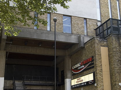
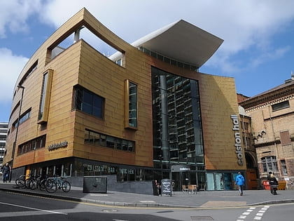
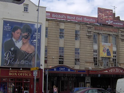
Nearby attractions include: O2 Academy Bristol, Colston Hall, St Mary on the Quay, Bierkeller Theatre.
Frequently Asked Questions (FAQ)
Which popular attractions are close to Christmas Steps?
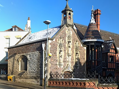
Nearby attractions include Antlers Gallery, Bristol (1 min walk), Broad Street, Bristol (1 min walk), Chapel of the Three Kings of Cologne, Bristol (1 min walk), See No Evil, Bristol (2 min walk).
How to get to Christmas Steps by public transport?
The nearest stations to Christmas Steps:
Bus
Ferry
Train
Bus
- Rupert Street • Lines: m2 (4 min walk)
- The Centre • Lines: 902, m2 (3 min walk)
Ferry
- City Centre • Lines: Hotwells-Centre (8 min walk)
- Prince Street Bridge • Lines: Hotwells-Centre (14 min walk)
Train
- Princes Wharf (15 min walk)
- SS Great Britain (18 min walk)

