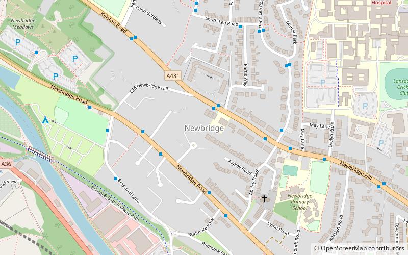
Newbridge, Bath
Map

Map

Facts and practical information
Newbridge is a largely residential electoral ward on the western edge of Bath, England. ()
Coordinates: 51°23'19"N, 2°23'56"W
Address
Bath
ContactAdd
Social media
Add
Day trips
Newbridge – popular in the area (distance from the attraction)
Nearby attractions include: Royal Victoria Park, Approach Golf Course, Victoria Bridge, Locksbrook Cemetery.
Frequently Asked Questions (FAQ)
Which popular attractions are close to Newbridge?
Nearby attractions include Weston Lock, Bath (11 min walk), Newton St Loe SSSI, Bath (14 min walk), Locksbrook, Bath (14 min walk), Locksbrook Cemetery, Bath (15 min walk).
How to get to Newbridge by public transport?
The nearest stations to Newbridge:
Bus
Train
Bus
- P&R Newbridge • Lines: 21 (9 min walk)
Train
- Oldfield Park (27 min walk)


