The Centurion, Bath
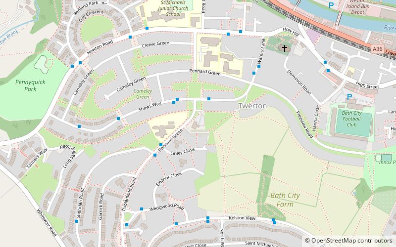
Map
Facts and practical information
The Centurion is a grade II listed public house in Twerton, Bath, England. It was built in 1965 and the outside features a large bronze Roman centurion. ()
Coordinates: 51°22'44"N, 2°24'6"W
Address
Bath
ContactAdd
Social media
Add
Getting there by public transportation
Public transportation stops near this location
- Bus
- Train
 Bus
Bus
- Calculate routeP&R Newbridge 21 min walk
- Calculate routeOldfield Park 24 min walk
Day trips


Frequently Asked Questions (FAQ)
Which popular attractions are close to The Centurion?
Nearby attractions include Weston Lock, Bath (9 min walk), Bath City Farm, Bath (10 min walk), Locksbrook, Bath (14 min walk), Newbridge, Bath (18 min walk).
How to get to The Centurion by public transport?
The nearest stations to The Centurion:
Bus
Train
Bus
- P&R Newbridge • Lines: 21 (21 min walk)
Train
- Oldfield Park (24 min walk)