Tiny Tumblers Church Village, Pontypridd
Map

Map

Facts and practical information
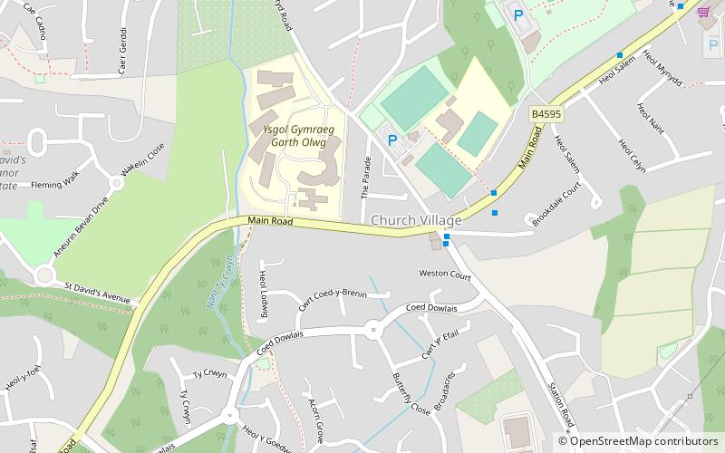
Tiny Tumblers Church Village (address: Main Road) is a place located in Pontypridd (Wales principality) and belongs to the category of game and entertainment center, church.
It is situated at an altitude of 335 feet, and its geographical coordinates are 51°33'51"N latitude and 3°19'18"W longitude.
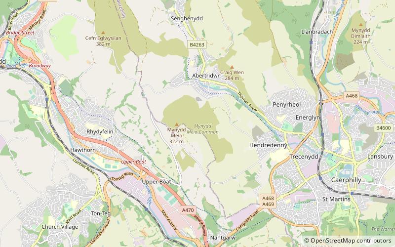
Among other places and attractions worth visiting in the area are: Spot Climbing (sport complex, 33 min walk), Hawthorn Greyhound Track (sport venue, 34 min walk), School of Engineering (universities and schools, 44 min walk).
Coordinates: 51°33'51"N, 3°19'18"W
Day trips
Tiny Tumblers Church Village – popular in the area (distance from the attraction)
Nearby attractions include: Llantrisant Church, Lido Ponty, Old Bridge, Ynysangharad Park.


