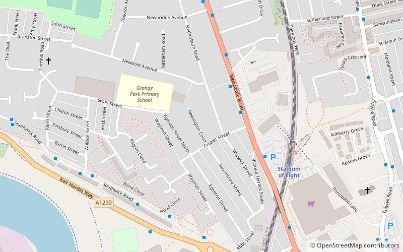
Newcastle Road, Sunderland
Map
Facts and practical information
Newcastle Road was a football ground in the Monkwearmouth area of Sunderland, England, and was the home ground of Sunderland A.F.C for twelve years, between 1886 and 1898. It was the sixth ground at which the club had played. Also called Ashville Ground, it was located between Newcastle Road, Eglinton Street North and Crozier Street. Sunderland AFC's first game at the ground was a friendly against Birtley on 10 April 1886. The game ended as a 3 – 3 draw. On 5 May 1888, the now-defunct Sunderland Albion F.C. played their inaugural game at Newcastle Road; a 3 – 0 victory over Shankhouse Blackwatch, although Albion would go on to play their home games at Sunderland AFCs previous ground of Blue House Field. ()
Opened: 1886 (140 years ago)Coordinates: 54°55'8"N, 1°23'12"W
Address
Sunderland
ContactAdd
Social media
Add
Getting there by public transportation
Public transportation stops near this location
- Bus
- Light rail
 Bus
Bus
- Calculate routeStadium of Light 5 min walk
- Calculate routeSt Peter's 15 min walk
- Calculate routeSeaburn 19 min walk
- Calculate routeSunderland 24 min walk
- Calculate routeSt Mary's Way 20 min walk
- Calculate routeSunderland Interchange Stand R 29 min walk
- Calculate routeSunderland Interchange 30 min walk
Day trips


Frequently Asked Questions (FAQ)
Which popular attractions are close to Newcastle Road?
Nearby attractions include Stadium of Light, Sunderland (9 min walk), Monkwearmouth Station Museum, Sunderland (9 min walk), All Saints' Church, Sunderland (10 min walk), National Glass Centre, Sunderland (11 min walk).
How to get to Newcastle Road by public transport?
The nearest stations to Newcastle Road:
Light rail
Bus
Light rail
- Stadium of Light • Lines: Green (5 min walk)
- St Peter's • Lines: Green (15 min walk)
Bus
- St Mary's Way • Lines: 135 (20 min walk)
- Sunderland Interchange Stand R • Lines: Sns (29 min walk)