Tenfoot Bridge
Map

Map

Facts and practical information
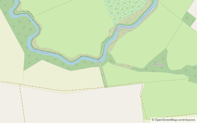
Tenfoot Bridge is a wooden footbridge across the River Thames in Oxfordshire, England. It is situated on the reach above Shifford Lock and was built in 1869. It connects Buckland on the south bank to Chimney on the north. ()
Opened: 1869 (157 years ago)Coordinates: 51°41'38"N, 1°29'23"W
Location
England
ContactAdd
Social media
Add
Day trips
Tenfoot Bridge – popular in the area (distance from the attraction)
Nearby attractions include: Frilford Heath Golf Club, Frilford Heath, St Mary's Church, Newbridge.


