Dulwich, London
Map
Gallery
Facts and practical information
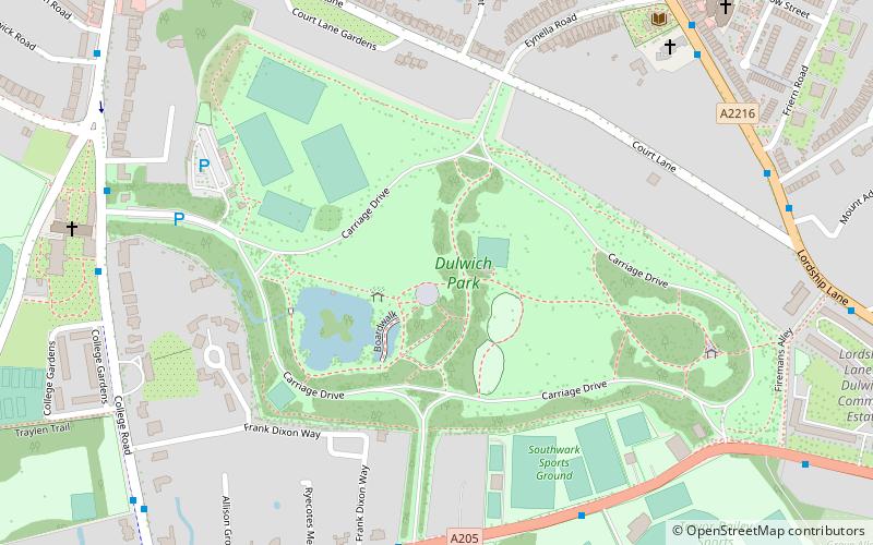
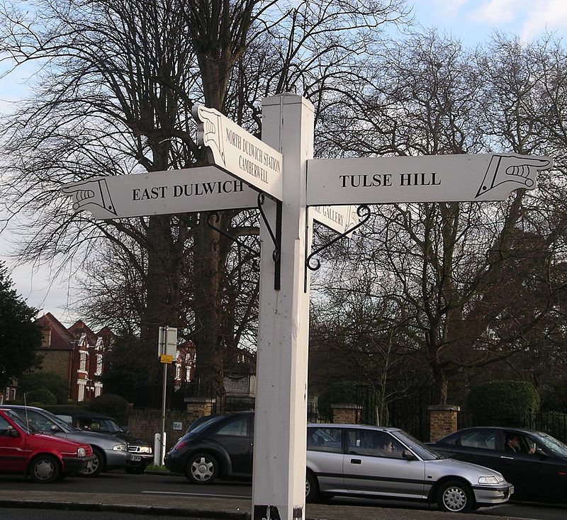
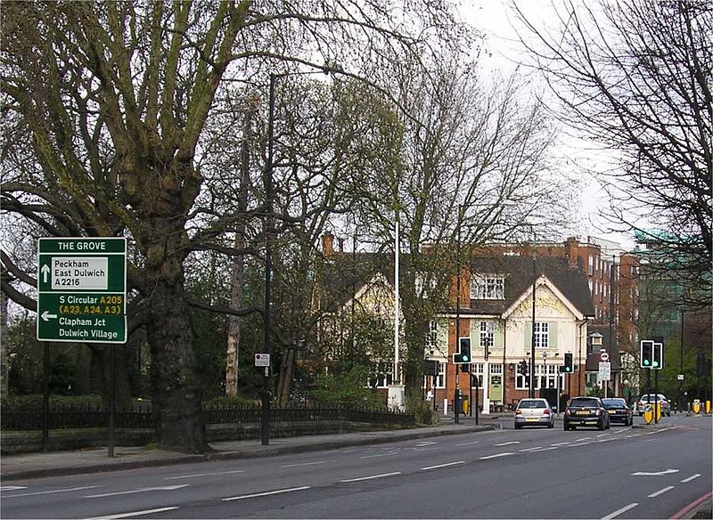
Dulwich is an area in South London, England. The settlement is mostly in the London Borough of Southwark, with parts in the London Borough of Lambeth, and consists of Dulwich Village, East Dulwich, West Dulwich, and the Southwark half of Herne Hill. Dulwich lies in a valley between the neighbouring districts of Camberwell, Crystal Palace, Denmark Hill, Forest Hill, Peckham, Sydenham Hill, and Tulse Hill. ()
Day trips
Dulwich – popular in the area (distance from the attraction)
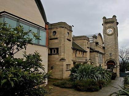
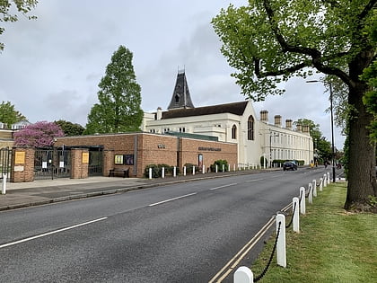
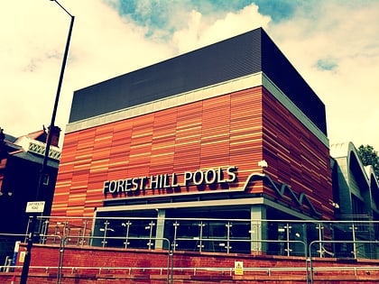
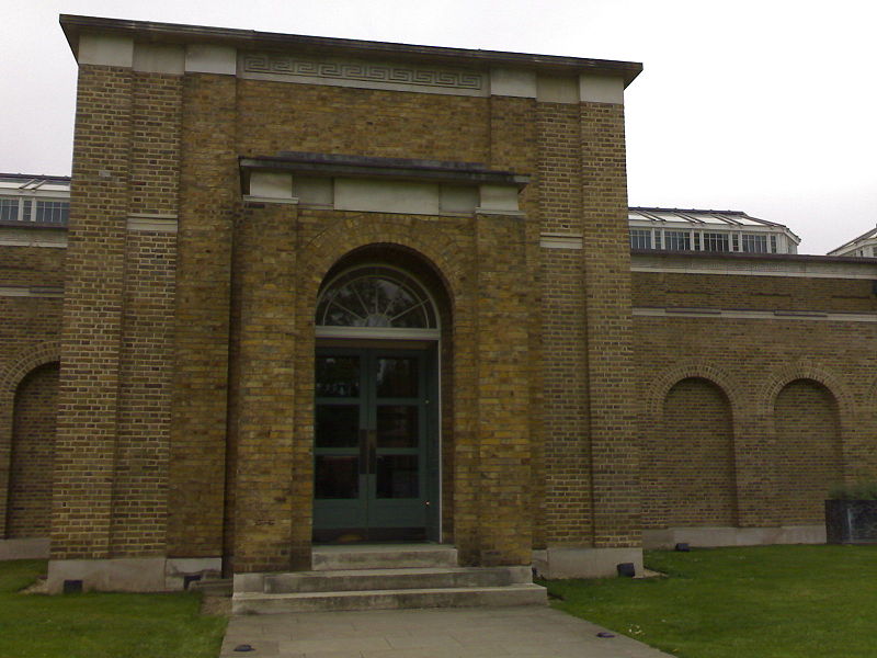
Nearby attractions include: Horniman Museum, Brockwell Lido, Dulwich Picture Gallery, Forest Hill Pools.
Frequently Asked Questions (FAQ)
Which popular attractions are close to Dulwich?
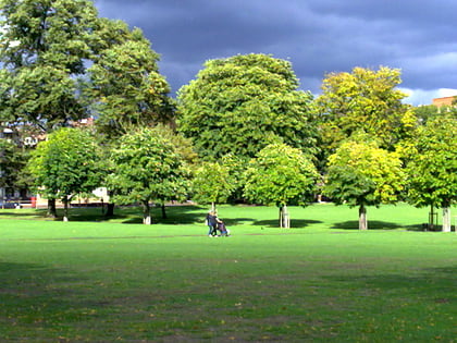
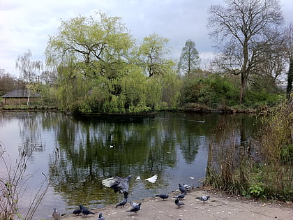
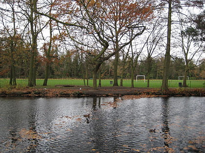
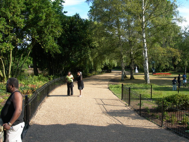
Nearby attractions include Dulwich Park, London (2 min walk), College of God's Gift, London (9 min walk), Dulwich Picture Gallery, London (9 min walk), London Borough of Southwark, London (10 min walk).
How to get to Dulwich by public transport?
The nearest stations to Dulwich:
Bus
Train
Bus
- Southwark Sports Ground • Lines: P13, P4 (6 min walk)
- Upland Road • Lines: 176, 185, 197 (7 min walk)
Train
- West Dulwich (18 min walk)
- North Dulwich (19 min walk)



 Tube
Tube