Marsh Farm, Luton

Gallery (1)
Map

Map
Facts and practical information
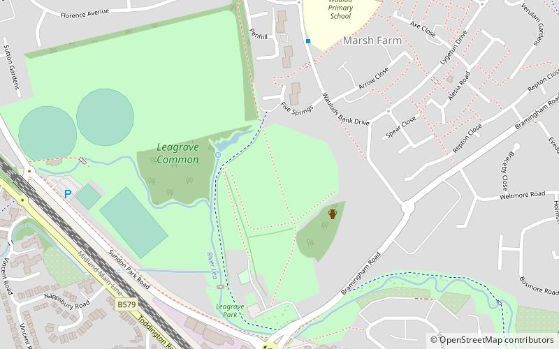
Marsh Farm is a suburb of Luton near to Leagrave and Limbury, mainly of council and social housing. The area is bounded by the edge of Luton to the north, Bramingham Road to the south, Spinney Wood and the path from the wood to the edge of Luton to the west, and Great Bramingham wood to the east. ()
Coordinates: 51°55'1"N, 0°27'11"W
Address
NorthwellLuton
ContactAdd
Social media
Add
Getting there by public transportation
Public transportation stops near this location
- Train
 Train
Train
- Calculate routeLeagrave 22 min walk
Day trips


Frequently Asked Questions (FAQ)
Which popular attractions are close to Marsh Farm?
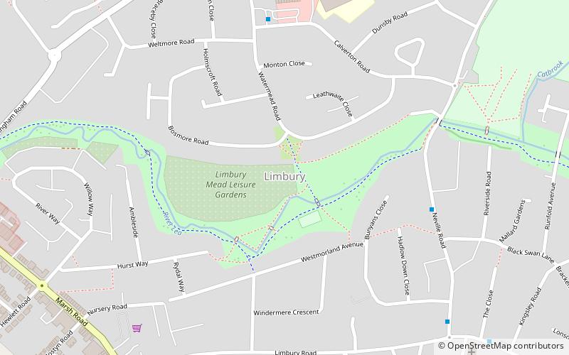
Nearby attractions include Waulud's Bank, Luton (13 min walk), Limbury, Luton (18 min walk), Sundon Park, Luton (19 min walk).
How to get to Marsh Farm by public transport?
The nearest stations to Marsh Farm:
Train
Train
- Leagrave (22 min walk)