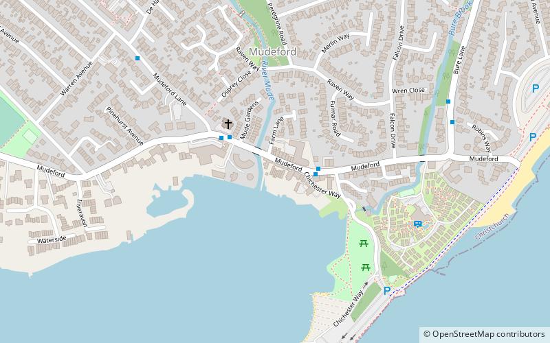
Mudeford, Christchurch
Map
Facts and practical information
Mudeford is a harbourside and beachside parish based on a former fishing village in the east of Christchurch, Dorset, England, fronting water on two sides: Christchurch Harbour and the sands of Avon Beach. ()
Address
MudefordChristchurch
ContactAdd
Social media
Add
Getting there by public transportation
Public transportation stops near this location
- Bus
 Bus
Bus
- Calculate routeMudeford Quay 2 min walk
- Calculate routeAll Saints Church 3 min walk
- Calculate routeDe Haviland Way 7 min walk
Day trips


Frequently Asked Questions (FAQ)
Which popular attractions are close to Mudeford?
Nearby attractions include Christchurch Harbour, Christchurch (16 min walk), Bailey bridge, Christchurch (22 min walk).
How to get to Mudeford by public transport?
The nearest stations to Mudeford:
Bus
Bus
- Mudeford Quay • Lines: 11, X1, X2 (2 min walk)
- All Saints Church • Lines: 11, X1, X2 (3 min walk)