Castle Bottom NNR

Gallery (1)
Map
Map
Facts and practical information
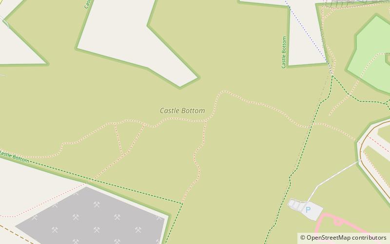
Castle Bottom is a British national nature reserve located near Yateley in Hampshire. It is part of Castle Bottom to Yateley and Hawley Commons, which is a Site of Special Scientific Interest, and Thames Basin Heaths Special Protection Area for the conservation of wild birds ()
Elevation: 279 ft a.s.l.Coordinates: 51°19'52"N, 0°51'24"W
Location
England
ContactAdd
Social media
Add
Day trips


