Stapenhill, Burton upon Trent
Map

Map

Facts and practical information
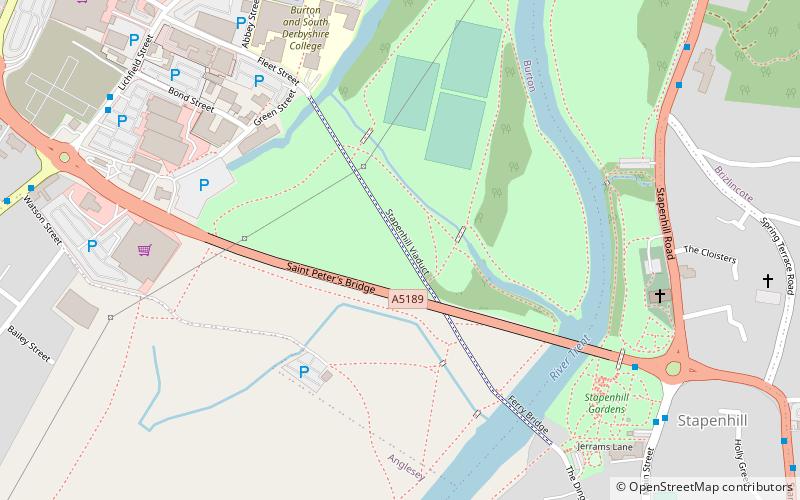
Stapenhill is a suburban village and civil parish in Burton upon Trent, Staffordshire in the UK. It was a small village owned by Nigel of Stafford as far back as 1086, however, this ancient parish area has long since been surrounded by new housing developments and gradually absorbed into the Burton urban area. Stapenhill was known for its brickyards in the 18th and 19th centuries. ()
Address
Burton upon Trent
ContactAdd
Social media
Add
Day trips
Stapenhill – popular in the area (distance from the attraction)
Nearby attractions include: Coopers Square Shopping Centre, St Peter's Bridge, Burton Town Hall, National Brewery Centre.
Frequently Asked Questions (FAQ)
Which popular attractions are close to Stapenhill?
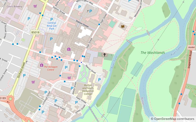
Nearby attractions include St Peter's Bridge, Burton upon Trent (2 min walk), Ferry Bridge, Burton upon Trent (5 min walk), Burton and South Derbyshire College, Burton upon Trent (6 min walk), Stapenhill Gardens, Burton upon Trent (7 min walk).
How to get to Stapenhill by public transport?
The nearest stations to Stapenhill:
Bus
Train
Bus
- Main Street • Lines: 18, 19, 19C, 2, 21, 21E, 22, 4 (6 min walk)
- St Peters Street • Lines: 2, 21, 21E, 22 (8 min walk)
Train
- Burton-on-Trent (22 min walk)


