St Peter's Bridge, Burton upon Trent
Map

Gallery

Facts and practical information
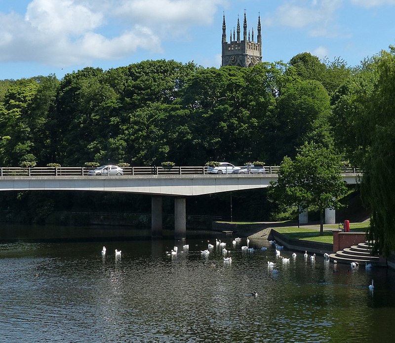
St Peter's Bridge carries the A5189 road across the River Trent in Burton upon Trent, Staffordshire, England. Opened in 1985, the 800-metre long reinforced concrete bridge is the most recent road crossing of the Trent. It was closed for more than two months in 2017 for major repair works. ()
Coordinates: 52°47'46"N, 1°37'42"W
Address
Burton upon Trent
ContactAdd
Social media
Add
Day trips
St Peter's Bridge – popular in the area (distance from the attraction)
Nearby attractions include: Coopers Square Shopping Centre, Burton Town Hall, National Brewery Centre, Winshill Water Tower.
Frequently Asked Questions (FAQ)
Which popular attractions are close to St Peter's Bridge?
Nearby attractions include Stapenhill, Burton upon Trent (2 min walk), Ferry Bridge, Burton upon Trent (4 min walk), Burton and South Derbyshire College, Burton upon Trent (7 min walk), Stapenhill Gardens, Burton upon Trent (7 min walk).
How to get to St Peter's Bridge by public transport?
The nearest stations to St Peter's Bridge:
Bus
Train
Bus
- Main Street • Lines: 18, 19, 19C, 2, 21, 21E, 22, 4 (6 min walk)
- St Peters Street • Lines: 2, 21, 21E, 22 (7 min walk)
Train
- Burton-on-Trent (23 min walk)


