Milton, Gravesend
Map
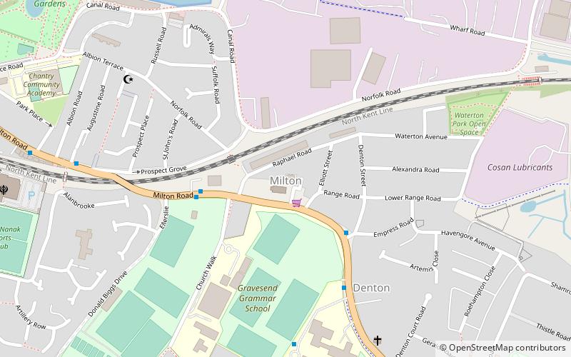
Map

Facts and practical information
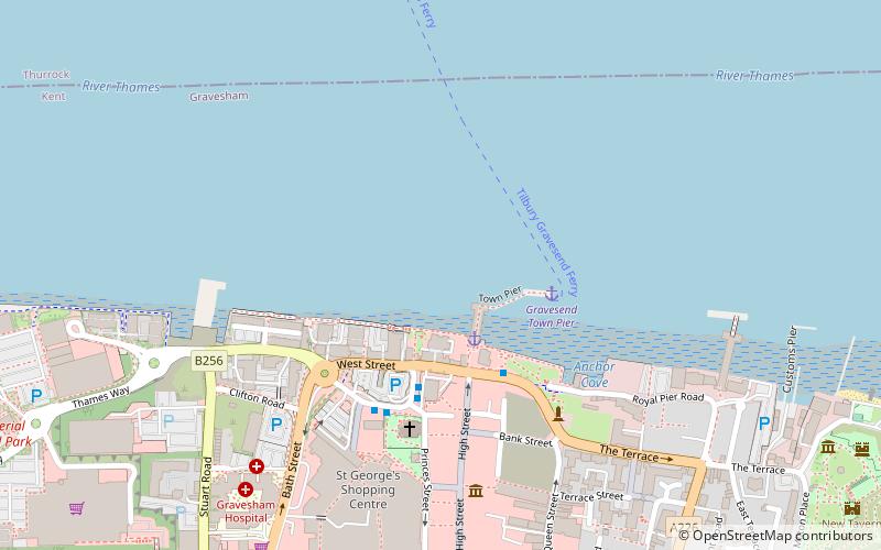
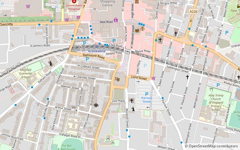
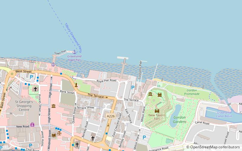
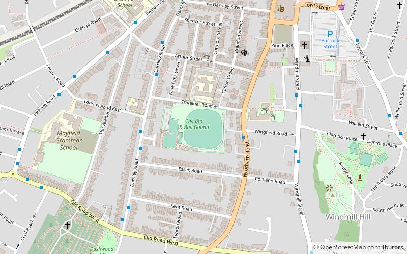
Milton-next-Gravesend is an ecclesiastical parish in the north-west of Kent, England, which is now part of the Gravesend built-up area. ()
Coordinates: 51°26'22"N, 0°23'9"E
Address
34 Raphael RoadRiversideGravesend
ContactAdd
Social media
Add
Day trips
Milton – popular in the area (distance from the attraction)
Nearby attractions include: Tilbury Fort, New Tavern Fort, Gravesend Town Hall, Milton Chantry.
Frequently Asked Questions (FAQ)
Which popular attractions are close to Milton?
Nearby attractions include New Tavern Fort, Gravesend (13 min walk), Milton Chantry, Gravesend (13 min walk), Gravesend Lifeboat Station, Gravesend (16 min walk), Royal Terrace Pier, Gravesend (16 min walk).
How to get to Milton by public transport?
The nearest stations to Milton:
Bus
Ferry
Train
Bus
- Milton Ale Shades • Lines: 190, 416, 480, 481, 490 (3 min walk)
- Church Walk • Lines: 190, 416, 480, 481, 490 (3 min walk)
Ferry
- Gravesend Town Pier • Lines: Gravesend-Tillbury Foot Ferry, Tillbury-Gravesend Foot Ferry (20 min walk)
- Tilbury Landing Stage • Lines: Gravesend-Tillbury Foot Ferry, Tillbury-Gravesend Foot Ferry (30 min walk)
Train
- Gravesend (22 min walk)


