Holloway, London

Gallery (3)
Map


Map
Gallery
Facts and practical information
Holloway is an inner-city district of the London Borough of Islington, 3.3 miles north of Charing Cross, which follows the line of the Holloway Road. At the centre of Holloway is the Nag's Head commercial area which sits between the more residential Upper Holloway and Lower Holloway neighbourhoods. Holloway has a multicultural population. It is the home of Arsenal F.C. and was once home to the largest women's prison in Europe, Holloway Prison, until 2016. Holloway is in the historic county of Middlesex. ()
Address
Islington (Holloway)London
ContactAdd
Social media
Add
Getting there by public transportation
Public transportation stops near this location
- Metro
- Bus
- Train
 Metro
Metro
- Calculate routeHolloway Road 4 min walk
- Calculate routeArsenal 11 min walk
- Calculate routeCaledonian Road 12 min walk
- Calculate routeHighbury & Islington 19 min walk
- Calculate routeCaledonian Road / Camden Road 4 min walk
- Calculate routeHolloway Road 4 min walk
- Calculate routeHolloway Road / Camden Road 5 min walk
- Calculate routeCaledonian Road 5 min walk
- Calculate routeDrayton Park 11 min walk
- Calculate routeCaledonian Road & Barnsbury 20 min walk
- Calculate routeUpper Holloway 23 min walk
- Calculate routeCanonbury 27 min walk
Maps Tube
Tube
TubeDay trips


Frequently Asked Questions (FAQ)
Which popular attractions are close to Holloway?
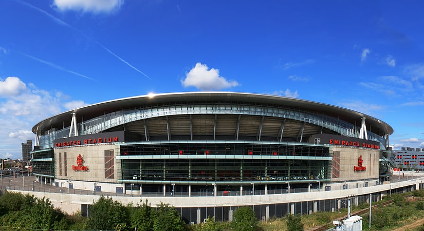
Nearby attractions include Emirates Stadium, London (8 min walk), 12 Bar Club, London (8 min walk), Nag's Head Market, London (8 min walk), Arsenal Museum, London (9 min walk).
How to get to Holloway by public transport?
The nearest stations to Holloway:
Metro
Bus
Train
Metro
- Holloway Road • Lines: Piccadilly (4 min walk)
- Arsenal • Lines: Piccadilly (11 min walk)
Bus
- Caledonian Road / Camden Road • Lines: 17, 259, 393, 91, N91 (4 min walk)
- Holloway Road • Lines: 253, 259, 29, 91, N253, N279, N29, N91 (4 min walk)
Train
- Drayton Park (11 min walk)
- Caledonian Road & Barnsbury (20 min walk)