Limey Way, Peak District

Gallery (1)
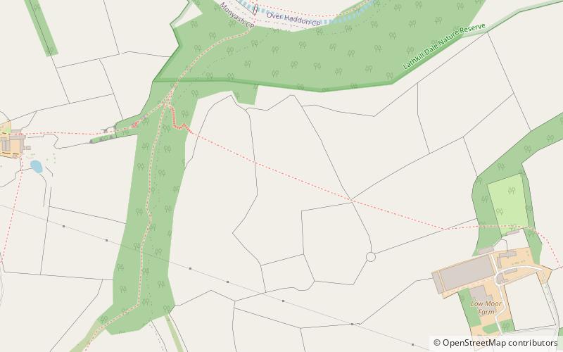
Map
Map
Facts and practical information
The Limey Way is a 65-kilometre challenge walk through Derbyshire, England. It starts at Castleton and progresses through 15 major and 5 minor limestone dales to reach the River Dove and Dovedale, the walk's end. ()
Length: 40.39 miSeason: All yearCoordinates: 53°10'60"N, 1°44'22"W
Address
Peak District
ContactAdd
Social media
Add
Day trips


