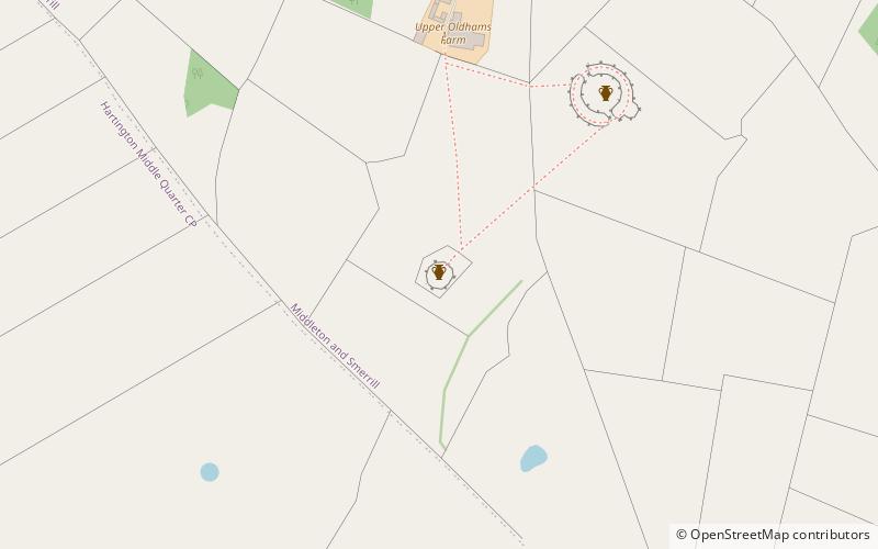
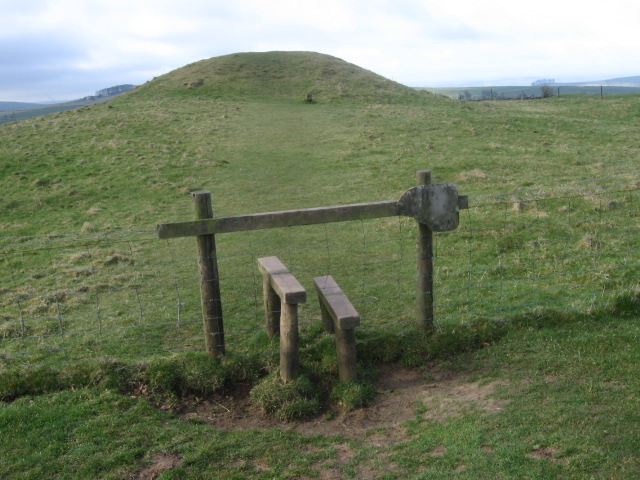
Gib Hill, Bakewell

Gallery (2)
Map
Map
Gallery
Facts and practical information
Gib Hill is a large burial mound in the Peak District, Derbyshire, England. It is thought to be a Neolithic oval barrow with an Early Bronze Age round barrow superimposed at one end. It is located some 300 metres south-west of Arbor Low henge. ()
Coordinates: 53°10'0"N, 1°45'53"W
Address
Bakewell
ContactAdd
Social media
Add
Day trips
Gib Hill – popular in the area (distance from the attraction)
Nearby attractions include: Tissington Trail, Arbor Low, Limey Way, Cales Dale.


