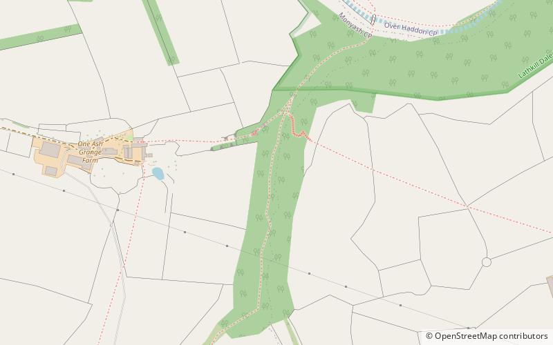
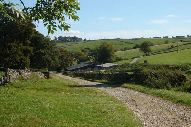
Cales Dale, Peak District

Gallery (2)
Map
Map
Gallery
Facts and practical information
Cales Dale is a short valley towards the head of Lathkill Dale near Monyash, Derbyshire in the Peak District of England. ()
Coordinates: 53°11'1"N, 1°44'36"W
Address
Peak District
ContactAdd
Social media
Add
Day trips


