Lathkill Dale, Peak District
Map

Gallery

Facts and practical information
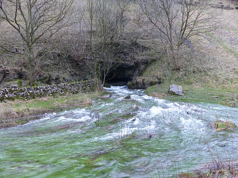
Lathkill Dale is the valley of the River Lathkill near Bakewell, Derbyshire in the Peak District of England. The river emerges into the dale from springs below Lathkill Head Cave. Towards the head of the dale is the side valley Cales Dale. ()
Coordinates: 53°11'5"N, 1°45'50"W
Address
Peak District
ContactAdd
Social media
Add
Day trips
Lathkill Dale – popular in the area (distance from the attraction)
Nearby attractions include: Tissington Trail, Arbor Low, Limey Way, Cales Dale.
Frequently Asked Questions (FAQ)
How to get to Lathkill Dale by public transport?
The nearest stations to Lathkill Dale:
Bus
Bus
- Bulls Head • Lines: X71 (24 min walk)


