Addison's Walk, Oxford
Map

Gallery
Facts and practical information
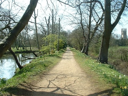
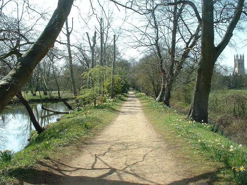
Addison's Walk is a picturesque footpath around a small island in the River Cherwell in the grounds of Magdalen College, Oxford, England. There are good views of Magdalen Tower and Magdalen Bridge from along the walk. ()
Elevation: 200 ft a.s.l.Coordinates: 51°45'9"N, 1°14'43"W
Address
HolywellOxford
ContactAdd
Social media
Add
Day trips
Addison's Walk – popular in the area (distance from the attraction)
Nearby attractions include: High Street, University of Oxford Botanic Garden, Magdalen Bridge, St Peter-in-the-East.
Frequently Asked Questions (FAQ)
Which popular attractions are close to Addison's Walk?
Nearby attractions include Founders Tower, Oxford (2 min walk), Magdalen Tower, Oxford (3 min walk), Magdalen Bridge, Oxford (3 min walk), Angel & Greyhound Meadow, Oxford (4 min walk).
How to get to Addison's Walk by public transport?
The nearest stations to Addison's Walk:
Bus
Train
Bus
- St Clements Street • Lines: Lhr, Tube, X90 (6 min walk)
- Queens Lane • Lines: 10, 15, 280, 3A, 5A, Lgw, Lhr, Tube, U1, X3, X90 (7 min walk)
Train
- Oxford (27 min walk)
