Arkwright Mill, Rochdale
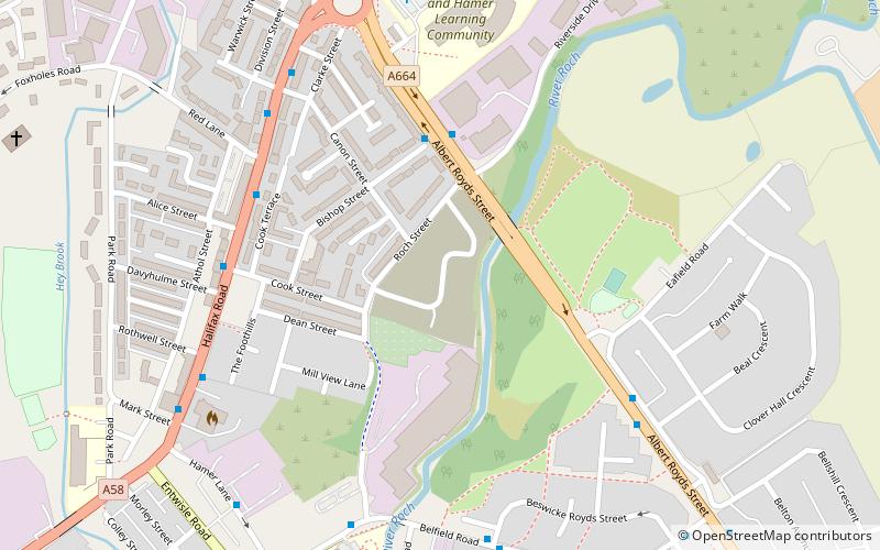
Map
Facts and practical information
Arkwright Mill, Rochdale is a cotton spinning mill in Rochdale, Greater Manchester. It was built in 1885 by the Arkwright Cotton Spinning Co. It was taken over by the Lancashire Cotton Corporation in the 1930s and passed to Courtaulds in 1964. It was located next to Dale Mill on Roch Street. The ring and doubling frames were made by Howard & Bullough, Accrington. The mill closed in 1980, was demolished in 2007 and the land redeveloped for housing. ()
Coordinates: 53°37'33"N, 2°8'20"W
Address
Rochdale
ContactAdd
Social media
Add
Getting there by public transportation
Public transportation stops near this location
- Bus
- Tram
- Train
 Bus
Bus
- Calculate routeMilnrow Road/Fox Inn 19 min walk
- Calculate routeNewbold 22 min walk
- Calculate routeRochdale Town Centre 23 min walk
- Calculate routeKingsway Business Park 31 min walk
- Calculate routeSmithy Bridge 29 min walk
- Calculate routeRochdale 31 min walk
Day trips


Frequently Asked Questions (FAQ)
Which popular attractions are close to Arkwright Mill?
Nearby attractions include St John the Baptist's Church, Rochdale (16 min walk), Clegg Hall, Rochdale (23 min walk).
How to get to Arkwright Mill by public transport?
The nearest stations to Arkwright Mill:
Bus
Tram
Train
Bus
- Milnrow Road/Fox Inn • Lines: 181, 182, 58, R4, R5 (19 min walk)
Tram
- Newbold • Lines: EDid, Roch (22 min walk)
- Rochdale Town Centre • Lines: EDid, Roch (23 min walk)
Train
- Smithy Bridge (29 min walk)
- Rochdale (31 min walk)