Saracen Park, Glasgow
Map
Facts and practical information
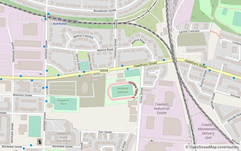
Saracen Park or Ashfield Stadium, also known as Peugeot Ashfield Stadium for sponsorship reasons, is a stadium in Glasgow, Scotland. It is currently shared by Ashfield F.C. for football and the Glasgow Tigers for speedway. It has also previously been a venue for greyhound racing. The ground was originally opened for football in 1937. ()
Opened: 1937 (89 years ago)Coordinates: 55°53'12"N, 4°14'39"W
Address
Springburn (Cowlairs)Glasgow
ContactAdd
Social media
Add
Getting there by public transportation
Public transportation stops near this location
- Metro
- Bus
- Train
 Metro
Metro
- Calculate routeAshfield 6 min walk
- Calculate routePossilpark and Parkhouse 16 min walk
- Calculate routeSpringburn 17 min walk
- Calculate routeBarnhill 26 min walk
- Calculate routeMilton, Skerray Street/ Scaraway Street 27 min walk
- Calculate routeMayfield Street / Ruchill Street 30 min walk
- Calculate routeMaryhill Road / Bonawe Street 31 min walk
- Calculate routeSt Georges Cross 37 min walk
Day trips


Frequently Asked Questions (FAQ)
Which popular attractions are close to Saracen Park?
Nearby attractions include Possilpark, Glasgow (10 min walk), Springburn, Glasgow (16 min walk), Springburn Museum, Glasgow (18 min walk).
How to get to Saracen Park by public transport?
The nearest stations to Saracen Park:
Train
Bus
Metro
Train
- Ashfield (6 min walk)
- Possilpark and Parkhouse (16 min walk)
Bus
- Milton, Skerray Street/ Scaraway Street • Lines: 75, M3 (27 min walk)
- Mayfield Street / Ruchill Street • Lines: 90 (30 min walk)
Metro
- St Georges Cross • Lines: Subway (37 min walk)