Crofts End Church, Bristol

Map
Facts and practical information
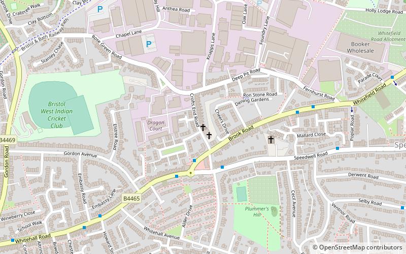
Crofts End Church is a nonconformist church, located in St George, Bristol, England. The specific area in which it is located is known locally as Crofts End. ()
Coordinates: 51°28'1"N, 2°32'31"W
Address
HillfieldsBristol
ContactAdd
Social media
Add
Day trips
Crofts End Church – popular in the area (distance from the attraction)
Nearby attractions include: Easton Jamia Masjid, Eastville Park, The Climbing Academy, St George's Park.
Frequently Asked Questions (FAQ)
Which popular attractions are close to Crofts End Church?
Nearby attractions include St George's Park, Bristol (12 min walk), Lodge Causeway, Bristol (18 min walk), Redfield, Bristol (19 min walk), Friends of Troopers Hill, Bristol (21 min walk).
How to get to Crofts End Church by public transport?
The nearest stations to Crofts End Church:
Bus
Train
Bus
- Orchard Road • Lines: 43 (11 min walk)
- Clouds Hill Avenue • Lines: 43 (12 min walk)
Train
- Stapleton Road (27 min walk)
- Lawrence Hill (29 min walk)


