Clwydian Range
#5412 among destinations in the United Kingdom
![Clwydian Range location map](https://tzmedia.b-cdn.net/media/images/static-maps/gb/53_1833_-3_25.jpg)
![Clwydian Range](https://tzmedia.b-cdn.net/media/images/gb/place/gallery/medium/043e31332920f00ae65be38781ac5639.jpg)
Facts and practical information
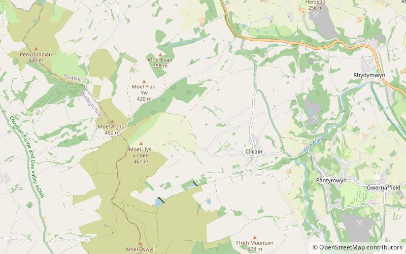
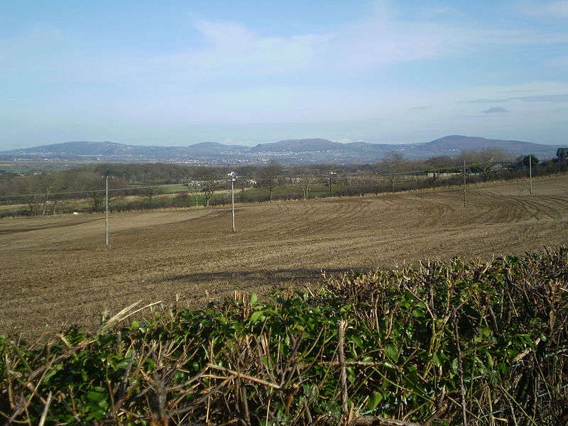
The Clwydian Range is a series of hills in the north-east of Wales that runs from Llandegla in the south to Prestatyn in the north, with the highest point being the popular Moel Famau. The range forms part of the Clwydian Range and Dee Valley Area of Outstanding Natural Beauty. ()
WalesUnited Kingdom
Clwydian Range plan & book
Unleash the traveler in you — discover the cheapest flight deals, find the perfect hotel or hostel nearby, and search for the best car rental prices. Travel at your own pace to discover new places and enjoy your journey.
Clwydian Range – popular in the area (distance from the attraction)
Nearby attractions include: Moel Famau, St Mary's Church, Mold Golf Club, St Mary's Church.
2 miSNature, Natural attraction, MountainMoel Famau, Ruthin
52 min walk • Moel Famau is the highest hill in the Clwydian Range and the highest point of the county of Flintshire in Wales. It lies on the boundary between Denbighshire and Flintshire.
4.5 miEChurch, Gothic architectureSt Mary's Church, Mold
116 min walk • St Mary's Church is an Anglican parish church in Mold, Flintshire, Wales, and a Grade I listed building. It belongs to the Deanery of Mold, the Archdeaconry of Wrexham and the Diocese of St Asaph of the Church in Wales.
2 miEGolfMold Golf Club
51 min walk • Mold Golf Club is a golf club based just outside Pantymwyn at Flintshire, Wales. It is an 18-hole uplands course some 850 feet above sea level, with a practice ground and putting green.
0.8 miSEChurchSt Mary's Church
21 min walk • St Mary's Church, Cilcain, is in the village of Cilcain, Flintshire, Wales. It is an active Anglican church in the Bro Famau group of parishes, in the Mold Mission Area, in the archdeaconry of Wrexham and the diocese of St Asaph. The church is designated by Cadw as a Grade I listed building.
3.6 miSNature, Natural attraction, MountainFoel Fenlli
92 min walk • Foel Fenlli or Moel Fenlli is a hill in Denbighshire, North Wales. With a summit at an elevation of 511 metres, it is the second highest peak of the Clwydian Range.
3.4 miNEArchaeological siteMoel y Gaer
87 min walk • Moel y Gaer is an Iron Age hillfort located on a summit at the southern end of Halkyn Mountain, overlooking the village of Rhosesmor, Flintshire, Wales. It is a well-preserved hillfort overlooking the Dee Estuary.
2.7 miNWNature, Natural attraction, MountainPenycloddiau
69 min walk • Penycloddiau is a hill in Flintshire, Wales, and one of five Marilyns in the Clwydian Range. The hill, like Foel Fenlli and Moel Arthur to the south, has an Iron Age hillfort at its summit.
3.9 miNWNature, Natural attraction, MountainMoel y Parc
99 min walk • Moel y Parc is a hill on the border between Denbighshire and Flintshire in Wales. It is one of the Clwydian Hills, rising 398 metres above sea level and is located at OS grid reference SJ114703. There is a television mast near the summit.
4.1 miNEForts and castlesHalkyn Castle
106 min walk • Halkyn Castle is a mansion house in the village of Halkyn, Flintshire, Wales. The house, with its associated stable block, is designated by Cadw as a Grade II* listed building.
4 miSRuinsOld St. Peter's Church
101 min walk • Old St Peter's Church a Grade II-listed ruin is situated above the B5429 in the village of Llanbedr Dyffryn Clwyd. It was first mentioned in the Lincoln Taxatio of 1291. Valued at £418 in the Valor Ecclesiasticus of 1535.
2.8 miSArchaeological siteMoel y Gaer
71 min walk • Moel y Gaer, also known as Moel-y-Gaer Camp or Moel y Gaer Hillfort, is an Iron Age hillfort located on a western spur of the Clwydian Range, near the village of Llanbedr, Denbighshire, Wales.