Trek Zone

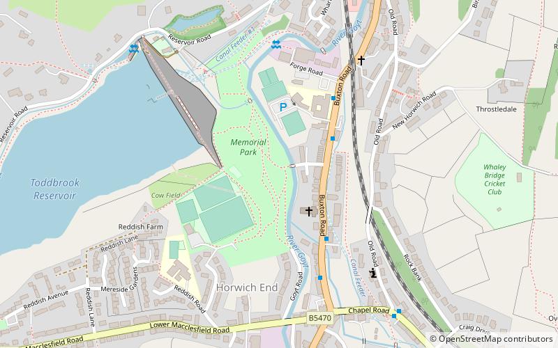
Whaley Bridge Memorial Park, Whaley Bridge

#4 among attractions in Whaley Bridge

Relax in park, Park
Whaley Bridge Memorial Park

Facts and practical information

Whaley Bridge Memorial Park (address: Wheatsheaf Road) is a place located in Whaley Bridge (England kingdom) and belongs to the category of relax in park, park.

It is situated at an altitude of 584 feet, and its geographical coordinates are 53°19'31"N latitude and 1°59'11"W longitude.

Among other places and attractions worth visiting in the area are: Toddbrook Reservoir (canal, 8 min walk), Bugsworth Basin (historical place, 25 min walk), Windgather Rocks, Peak District (nature, 49 min walk).

Elevation: 584 ft a.s.l.Coordinates: 53°19'31"N, 1°59'11"W
Address

Wheatsheaf RoadWhaley Bridge United Kingdom

Contact
Social media
Add

Whaley Bridge plan & book

Unleash the traveler in you — discover the cheapest flight deals, find the perfect hotel or hostel nearby, and search for the best car rental prices. Travel at your own pace to discover new places and enjoy your journey.

Day trips

Whaley Bridge Memorial Park – popular in the area (distance from the attraction)

Nearby attractions include: Lyme Park, Bugsworth Basin, Cats Tor, New Mills Library.

  • lyme park disley2.9 miW
  • bugsworth basin whaley bridge1 miNE
  • cats tor peak district3.3 miS
  • new mills library3 miN
  • st marys church disley3.1 miNW
  • torrs riverside park new mills2.7 miN
  • jenkin chapel peak district3.1 miSW
  • toddbrook reservoir whaley bridge~1560 ftW
  • upper goyt valley whaley bridge2 miS
  • bowstones peak district2.2 miW
  • windgather rocks peak district1.9 miSW

Where to next? Visit england England region page or discover the top tourist attractions in United Kingdom.