St Andrew's Church

Gallery (1)
Map
Map
Facts and practical information
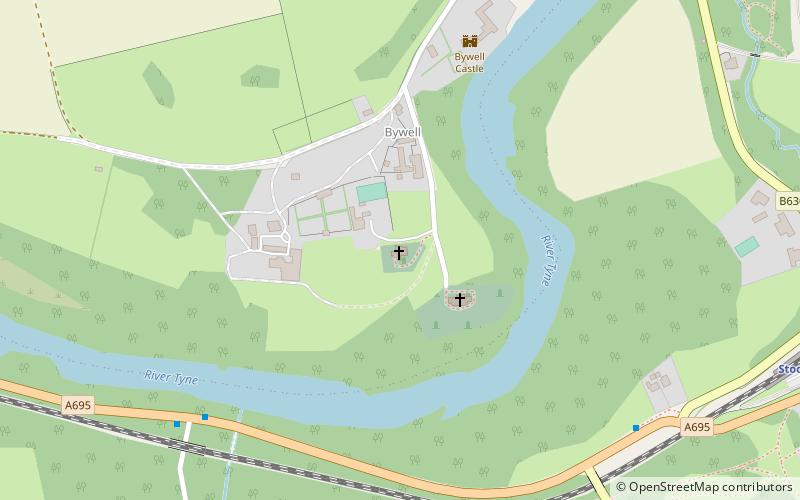
St Andrew's Church is an Anglican church in the village of Bywell, Northumberland, England. It is recorded in the National Heritage List for England as a designated Grade I listed building, and is under the care of the Churches Conservation Trust. ()
Completed: 1871 (155 years ago)Architectural style: Anglo-Saxon architectureCoordinates: 54°56'53"N, 1°55'33"W
Day trips


