Birchills Junction, Walsall
Map

Map

Facts and practical information
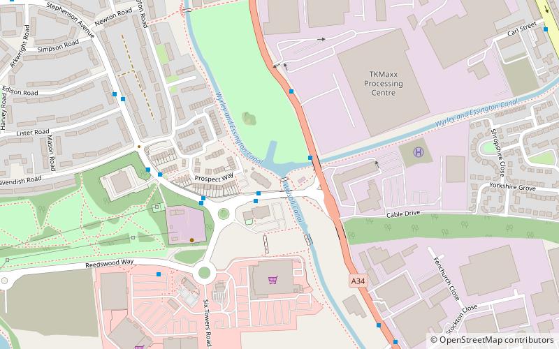
Birchills Junction is the canal junction at the northern limit of what is now called the Walsall Canal where it meets the Wyrley and Essington Canal main line, near Walsall, West Midlands, England. It opened in 1798, but lasted for little more than a year, until it was re-opened in 1841 when a connecting link was built to the Birmingham Canal Navigations' southern route to Walsall. ()
Coordinates: 52°35'55"N, 1°59'52"W
Address
Walsall (Birchills Leamore)Walsall
ContactAdd
Social media
Add
Day trips
Birchills Junction – popular in the area (distance from the attraction)
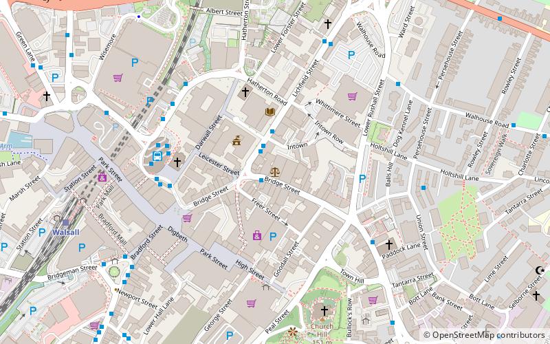
Nearby attractions include: Saddlers Centre, The New Art Gallery Walsall, Walsall Town Hall, Walsall Council House.
Frequently Asked Questions (FAQ)
Which popular attractions are close to Birchills Junction?
Nearby attractions include Reedswood Park, Walsall (12 min walk), Walsall Local History Centre, Walsall (14 min walk), St Andrew's Church, Walsall (19 min walk), Ryecroft, Walsall (23 min walk).
How to get to Birchills Junction by public transport?
The nearest stations to Birchills Junction:
Bus
Train
Bus
- Stephenson Ave / Birchills Junction • Lines: 69 (2 min walk)
- Reedswood Way / Sainsburys • Lines: 69 (6 min walk)
Train
- Walsall (29 min walk)


