Treaty Centre, London
Map
Map

Facts and practical information
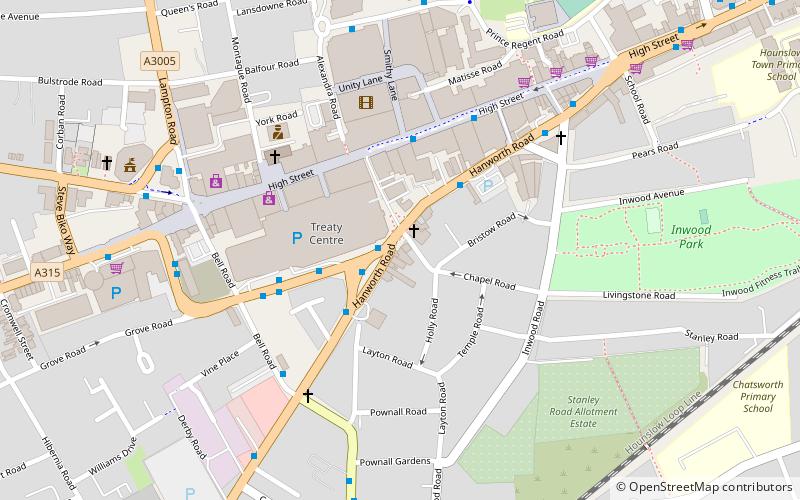
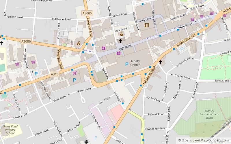
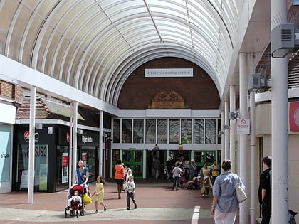
The Treaty Centre is an enclosed shopping mall in the town centre of Hounslow in Greater London, England. Opened on 29th September 1987 and located on the High Street, the Treaty Centre offers 270,194 square feet of retail space and is anchored by Debenhams and Wilkinsons. It has an average weekly footfall of 195,000 people. ()
Coordinates: 51°28'2"N, 0°21'53"W
Day trips
Treaty Centre – popular in the area (distance from the attraction)
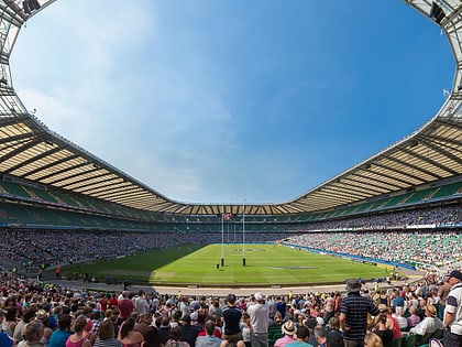
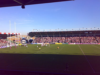
Nearby attractions include: Twickenham Stadium, Twickenham Stoop, Bell Square, Hounslow Civic Centre.
Frequently Asked Questions (FAQ)
When is Treaty Centre open?
Treaty Centre is open:
- Monday 9 am - 6 pm
- Tuesday 9 am - 6 pm
- Wednesday 9 am - 6 pm
- Thursday 9 am - 7 pm
- Friday 9 am - 6 pm
- Saturday 9 am - 6 pm
- Sunday 11 am - 5 pm
Which popular attractions are close to Treaty Centre?
Nearby attractions include Bell Square, Hounslow (3 min walk), London Borough of Hounslow, Hounslow (4 min walk), Hounslow House, Hounslow (4 min walk), Hounslow Civic Centre, London (14 min walk).
How to get to Treaty Centre by public transport?
The nearest stations to Treaty Centre:
Bus
Metro
Train
Bus
- Treaty Centre • Lines: 110, 111, 116, 117, 120, 203, 222, 235, 237, 281, 423, 635, 681, 81, E8, H20, H22, H28, H32, H98, N9 (2 min walk)
- Grove Road • Lines: 110, 111, 281, 681, H20, H28 (3 min walk)
Metro
- Hounslow Central • Lines: Piccadilly (8 min walk)
- Osterley • Lines: Piccadilly (29 min walk)
Train
- Hounslow (10 min walk)
 Tube
Tube